Area Overview for NP18 3EZ
Photos of NP18 3EZ
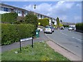
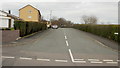
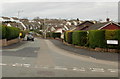
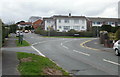

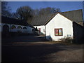
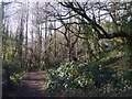
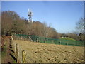
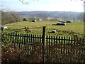
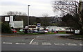
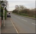
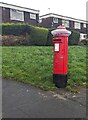
37 photos from this area
Area Information
Key information about the NP18 3EZ including its size, population, and administrative classification.
- Area Type
- Postcode
- Area Size
- 6.8 hectares
- Population
- 1612
- Population Density
- 566 people/km²
House Prices in NP18 3EZ
41
Properties
£174,353
Average Sold Price
£661
Lowest Price
£290,000
Highest Price
Showing 41 properties
| Address | Type | Beds | Baths | Last Sale Price | Last Sale Date | |
|---|---|---|---|---|---|---|
| 2 Northfield Close, Caerleon, Newport, NP18 3EZ | Semi-detached | 3 | 1 | £215,000 | Sep 2024 | |
| 26 Northfield Close, Caerleon, Newport, NP18 3EZ | house | - | - | £275,000 | Aug 2024 | |
| 29 Northfield Close, Caerleon, Newport, NP18 3EZ | Semi-detached | 3 | 2 | £250,000 | Oct 2023 | |
| 28 Northfield Close, Caerleon, Newport, NP18 3EZ | Semi-detached | 4 | 1 | £290,000 | Aug 2023 | |
| 46 Northfield Close, Caerleon, Newport, NP18 3EZ | Semi-detached | 3 | 1 | £232,500 | May 2023 | |
| 40 Northfield Close, Caerleon, Newport, NP18 3EZ | Semi-detached | 3 | 1 | £265,000 | May 2023 | |
| Castries, 8 Northfield Close, Caerleon, Newport, NP18 3EZ | house | - | - | £225,000 | Aug 2020 | |
| 44 Northfield Close, Caerleon, Newport, NP18 3EZ | Semi-detached | 3 | 1 | £159,000 | May 2019 | |
| 27 Northfield Close, Caerleon, Newport, NP18 3EZ | house | - | - | £1,000 | Apr 2019 | |
| 7 Northfield Close, Caerleon, Newport, NP18 3EZ | Semi-detached | 3 | - | £179,950 | Feb 2019 |
Page 1 of 5
Energy Efficiency in NP18 3EZ
Amenities
Schools
| Rank | School | Type | Entry gender | Ages |
|---|
Explore more schools in this area
Go to Schools tabDemographics
Household Size
Two person
most common
Accommodation Type
Houses
most common
Tenure
89
majority
Ethnic Group
White
most common
Religion
N/A
most common
Household Composition
N/A
most common
Age
47
median
Adults (30-64 years)
most common
Household Deprivation
N/A
with no deprivation
NS-SEC
46
in Lower managerial occupations
Explore more demographic insights in this area
Go to Demographics tabPlanning
Planning Constraints
- Flood RiskPremium
- Ramsar Wetland SitesPremium
- Area of Outstanding Natural BeautyPremium
- Protected Nature ReservePremium
- Protected WoodlandPremium
- Crime RiskPremium