Area Overview for NP18 3EN
Photos of NP18 3EN


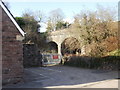
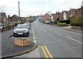
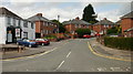
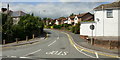
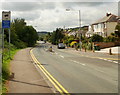

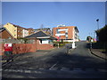
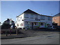
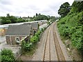

100 photos from this area
Area Information
Key information about the NP18 3EN including its size, population, and administrative classification.
- Area Type
- Postcode
- Area Size
- 1.9 hectares
- Population
- 1507
- Population Density
- 3177 people/km²
House Prices in NP18 3EN
20
Properties
£122,179
Average Sold Price
£25,000
Lowest Price
£191,000
Highest Price
Showing 20 properties
| Address | Type | Beds | Baths | Last Sale Price | Last Sale Date | |
|---|---|---|---|---|---|---|
| 26 Roman Way, Caerleon, Newport, NP18 3EN | Semi-detached | 3 | 1 | £159,950 | Apr 2018 | |
| 23 Roman Way, Caerleon, Newport, NP18 3EN | Semi-detached | 3 | 1 | £191,000 | Feb 2018 | |
| 27 Roman Way, Caerleon, Newport, NP18 3EN | house | - | - | £148,000 | Mar 2016 | |
| 29 Roman Way, Caerleon, Newport, NP18 3EN | Semi-detached | 3 | - | £148,000 | Jan 2015 | |
| 36 Roman Way, Caerleon, Newport, NP18 3EN | house | - | - | £157,250 | Apr 2013 | |
| 48 Roman Way, Caerleon, Newport, NP18 3EN | house | - | - | £163,000 | Feb 2013 | |
| 42 Roman Way, Caerleon, Newport, NP18 3EN | house | 3 | 2 | £140,000 | May 2008 | |
| 44 Roman Way, Caerleon, Newport, NP18 3EN | Semi-detached | - | - | £150,000 | Jul 2007 | |
| 46 Roman Way, Caerleon, Newport, NP18 3EN | Semi-detached | 3 | - | £76,000 | Sep 2003 | |
| 50 Roman Way, Caerleon, Newport, NP18 3EN | Semi-detached | - | - | £55,000 | Apr 2001 |
Page 1 of 2
Energy Efficiency in NP18 3EN
Amenities
Schools
| Rank | School | Type | Entry gender | Ages |
|---|
Explore more schools in this area
Go to Schools tabDemographics
Household Size
Family (3-5 people)
most common
Accommodation Type
Houses
most common
Tenure
82
majority
Ethnic Group
White
most common
Religion
N/A
most common
Household Composition
N/A
most common
Age
47
median
Adults (30-64 years)
most common
Household Deprivation
N/A
with no deprivation
NS-SEC
41
in Lower managerial occupations
Explore more demographic insights in this area
Go to Demographics tabPlanning
Planning Constraints
- Flood RiskPremium
- Ramsar Wetland SitesPremium
- Area of Outstanding Natural BeautyPremium
- Protected Nature ReservePremium
- Protected WoodlandPremium
- Crime RiskPremium