Area Overview for NP18 2LB
Photos of NP18 2LB
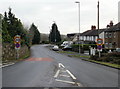
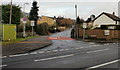


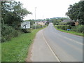
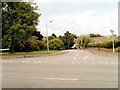
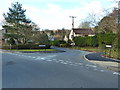
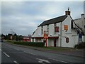
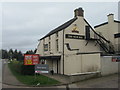
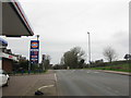
29 photos from this area
Area Information
Key information about the NP18 2LB including its size, population, and administrative classification.
- Area Type
- Postcode
- Area Size
- 3.1 hectares
- Population
- 1362
- Population Density
- 114 people/km²
House Prices in NP18 2LB
29
Properties
£365,333
Average Sold Price
£118,000
Lowest Price
£585,000
Highest Price
Showing 29 properties
| Address | Type | Beds | Baths | Last Sale Price | Last Sale Date | |
|---|---|---|---|---|---|---|
| 8 Shepherd Drive, Langstone, Newport, NP18 2LB | Detached | 4 | 2 | £550,000 | Jan 2024 | |
| 6 Shepherd Drive, Langstone, Newport, NP18 2LB | Retail | 4 | 3 | £585,000 | Apr 2022 | |
| 17 Shepherd Drive, Langstone, Newport, NP18 2LB | Detached | 5 | - | £537,000 | Apr 2021 | |
| 13 Shepherd Drive, Langstone, Newport, NP18 2LB | Detached | 4 | 2 | £470,000 | Aug 2019 | |
| 19 Shepherd Drive, Langstone, Newport, NP18 2LB | Detached | 6 | 4 | £515,000 | Aug 2019 | |
| 11 Shepherd Drive, Langstone, Newport, NP18 2LB | Detached | 4 | - | £492,000 | Jun 2019 | |
| 20 Shepherd Drive, Langstone, Newport, NP18 2LB | house | - | - | £485,000 | Mar 2019 | |
| 21 Shepherd Drive, Langstone, Newport, NP18 2LB | house | - | - | £510,000 | Nov 2018 | |
| 5 Shepherd Drive, Langstone, Newport, NP18 2LB | house | - | - | £400,000 | Mar 2018 | |
| 22 Shepherd Drive, Langstone, Newport, NP18 2LB | Detached | 5 | - | £336,000 | Dec 2016 |
Page 1 of 3
Energy Efficiency in NP18 2LB
Amenities
Schools
| Rank | School | Type | Entry gender | Ages |
|---|
Explore more schools in this area
Go to Schools tabDemographics
Household Size
Two person
most common
Accommodation Type
Houses
most common
Tenure
91
majority
Ethnic Group
White
most common
Religion
N/A
most common
Household Composition
N/A
most common
Age
47
median
Adults (30-64 years)
most common
Household Deprivation
N/A
with no deprivation
NS-SEC
51
in Lower managerial occupations
Explore more demographic insights in this area
Go to Demographics tabPlanning
Planning Constraints
- Flood RiskPremium
- Ramsar Wetland SitesPremium
- Area of Outstanding Natural BeautyPremium
- Protected Nature ReservePremium
- Protected WoodlandPremium
- Crime RiskPremium