Area Overview for NP18 2DU
Photos of NP18 2DU
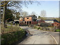
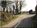
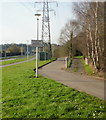


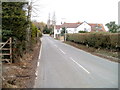
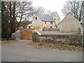
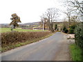
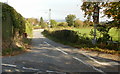
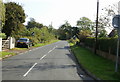
62 photos from this area
Area Information
Key information about the NP18 2DU including its size, population, and administrative classification.
- Area Type
- Postcode
- Area Size
- 3.1 hectares
- Population
- 1780
- Population Density
- 47 people/km²
House Prices in NP18 2DU
13
Properties
£296,250
Average Sold Price
£125,000
Lowest Price
£580,000
Highest Price
Showing 13 properties
| Address | Type | Beds | Baths | Last Sale Price | Last Sale Date | |
|---|---|---|---|---|---|---|
| Greystones, Milton Hill, Llanwern, Newport, NP18 2DU | Detached | 4 | 2 | £580,000 | Aug 2021 | |
| Redwood, Milton Hill, Llanwern, Newport, NP18 2DU | Bungalow | - | - | £345,000 | Aug 2018 | |
| Fair Winds, Milton Hill, Llanwern, Newport, NP18 2DU | house | - | - | £370,000 | Aug 2016 | |
| The Gallery, Milton Hill, Llanwern, Newport, NP18 2DU | Detached | 4 | 3 | £385,000 | Mar 2016 | |
| Merry Meet, Milton Hill, Llanwern, Newport, NP18 2DU | Bungalow | - | - | £274,000 | Nov 2015 | |
| Hawthorne Cottage, Milton Hill, Llanwern, Newport, NP18 2DU | Semi-detached | - | - | £350,000 | Feb 2007 | |
| Barnway, Milton Hill, Llanwern, Newport, NP18 2DU | house | - | - | £190,000 | Jun 2003 | |
| Lilac Cottage, Milton Hill, Llanwern, Newport, NP18 2DU | house | - | - | £188,500 | Oct 2002 | |
| Great Milton, Milton Hill, Llanwern, Newport, NP18 2DU | Detached | 3 | 1 | £155,000 | Dec 1999 | |
| The Fields, Milton Hill, Llanwern, Newport, NP18 2DU | Detached | 3 | 1 | £125,000 | Jun 1998 |
Page 1 of 2
Energy Efficiency in NP18 2DU
Amenities
Schools
| Rank | School | Type | Entry gender | Ages |
|---|
Explore more schools in this area
Go to Schools tabDemographics
Household Size
Two person
most common
Accommodation Type
Houses
most common
Tenure
79
majority
Ethnic Group
White
most common
Religion
N/A
most common
Household Composition
N/A
most common
Age
47
median
Adults (30-64 years)
most common
Household Deprivation
N/A
with no deprivation
NS-SEC
37
in Lower managerial occupations
Explore more demographic insights in this area
Go to Demographics tabPlanning
Planning Constraints
- Flood RiskPremium
- Ramsar Wetland SitesPremium
- Area of Outstanding Natural BeautyPremium
- Protected Nature ReservePremium
- Protected WoodlandPremium
- Crime RiskPremium