Area Overview for NP10 9HG
Photos of NP10 9HG
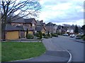
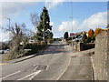
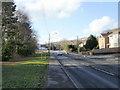
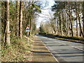

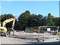

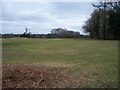
76 photos from this area
Area Information
Key information about the NP10 9HG including its size, population, and administrative classification.
- Area Type
- Postcode
- Area Size
- 1.4 hectares
- Population
- 2290
- Population Density
- 460 people/km²
House Prices in NP10 9HG
26
Properties
£241,468
Average Sold Price
£73,000
Lowest Price
£422,000
Highest Price
Showing 26 properties
| Address | Type | Beds | Baths | Last Sale Price | Last Sale Date | |
|---|---|---|---|---|---|---|
| 3 Pontymason Close, Rogerstone, Newport, NP10 9HG | Detached | 4 | 2 | £422,000 | Jun 2025 | |
| 16 Pontymason Close, Rogerstone, Newport, NP10 9HG | house | - | - | £295,000 | Jun 2022 | |
| 22 Pontymason Close, Rogerstone, Newport, NP10 9HG | house | - | - | £385,000 | Feb 2022 | |
| Swn-y-dwr, 13 Pontymason Close, Rogerstone, Newport, NP10 9HG | house | - | - | £320,000 | Sep 2021 | |
| 20 Pontymason Close, Rogerstone, Newport, NP10 9HG | house | - | - | £332,000 | Dec 2020 | |
| 4 Pontymason Close, Rogerstone, Newport, NP10 9HG | Detached | 4 | 2 | £325,000 | Sep 2020 | |
| 26 Pontymason Close, Rogerstone, Newport, NP10 9HG | Detached | 4 | 1 | £265,000 | Oct 2018 | |
| 11 Pontymason Close, Rogerstone, Newport, NP10 9HG | Detached | 4 | - | £257,500 | Jan 2017 | |
| 8 Pontymason Close, Rogerstone, Newport, NP10 9HG | house | - | - | £230,000 | Oct 2013 | |
| 17 Pontymason Close, Rogerstone, Newport, NP10 9HG | Detached | - | - | £239,950 | Aug 2007 |
Page 1 of 3
Energy Efficiency in NP10 9HG
Amenities
Schools
| Rank | School | Type | Entry gender | Ages |
|---|
Explore more schools in this area
Go to Schools tabDemographics
Household Size
Family (3-5 people)
most common
Accommodation Type
Houses
most common
Tenure
87
majority
Ethnic Group
White
most common
Religion
N/A
most common
Household Composition
N/A
most common
Age
47
median
Adults (30-64 years)
most common
Household Deprivation
N/A
with no deprivation
NS-SEC
49
in Lower managerial occupations
Explore more demographic insights in this area
Go to Demographics tabPlanning
Planning Constraints
- Flood RiskPremium
- Ramsar Wetland SitesPremium
- Area of Outstanding Natural BeautyPremium
- Protected Nature ReservePremium
- Protected WoodlandPremium
- Crime RiskPremium