Area Overview for NP10 9DS
Photos of NP10 9DS
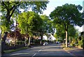
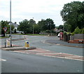
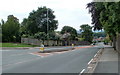
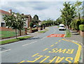
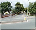

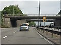
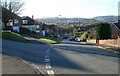
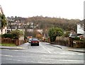

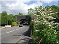
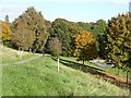
100 photos from this area
Area Information
Key information about the NP10 9DS including its size, population, and administrative classification.
- Area Type
- Postcode
- Area Size
- 3.2 hectares
- Population
- 2313
- Population Density
- 2809 people/km²
House Prices in NP10 9DS
32
Properties
£173,506
Average Sold Price
£64,950
Lowest Price
£335,500
Highest Price
Showing 32 properties
| Address | Type | Beds | Baths | Last Sale Price | Last Sale Date | |
|---|---|---|---|---|---|---|
| 13 Western Valley Road, Rogerstone, Newport, NP10 9DS | Terraced | 2 | 1 | £128,000 | Oct 2024 | |
| 12 Western Valley Road, Rogerstone, Newport, NP10 9DS | Semi-detached | 3 | 1 | £246,000 | May 2023 | |
| 17 Western Valley Road, Rogerstone, Newport, NP10 9DS | Terraced | 3 | 1 | £265,000 | Oct 2022 | |
| 28 Western Valley Road, Rogerstone, Newport, NP10 9DS | Detached | 3 | 1 | £265,000 | Aug 2022 | |
| 2A Western Valley Road, Rogerstone, Newport, NP10 9DS | Detached | 3 | 1 | £335,500 | Jan 2022 | |
| 10 Western Valley Road, Rogerstone, Newport, NP10 9DS | house | - | - | £249,999 | Aug 2021 | |
| 19 Western Valley Road, Rogerstone, Newport, NP10 9DS | Terraced | 3 | 1 | £120,000 | May 2019 | |
| 20 Western Valley Road, Rogerstone, Newport, NP10 9DS | Semi-detached | 3 | 1 | £184,950 | Nov 2017 | |
| 25 Western Valley Road, Rogerstone, Newport, NP10 9DS | Semi-detached | 4 | 2 | £162,500 | Nov 2016 | |
| 15 Western Valley Road, Rogerstone, Newport, NP10 9DS | house | - | - | £90,700 | Sep 2015 |
Page 1 of 4
Energy Efficiency in NP10 9DS
Amenities
Schools
| Rank | School | Type | Entry gender | Ages |
|---|
Explore more schools in this area
Go to Schools tabDemographics
Household Size
Two person
most common
Accommodation Type
Houses
most common
Tenure
63
majority
Ethnic Group
White
most common
Religion
N/A
most common
Household Composition
N/A
most common
Age
47
median
Adults (30-64 years)
most common
Household Deprivation
N/A
with no deprivation
NS-SEC
36
in Lower managerial occupations
Explore more demographic insights in this area
Go to Demographics tabPlanning
Planning Constraints
- Flood RiskPremium
- Ramsar Wetland SitesPremium
- Area of Outstanding Natural BeautyPremium
- Protected Nature ReservePremium
- Protected WoodlandPremium
- Crime RiskPremium