Area Overview for NP10 8QN
Photos of NP10 8QN
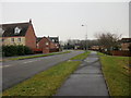
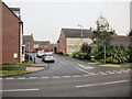
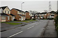
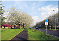
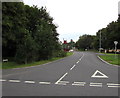
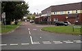
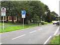
100 photos from this area
Area Information
Key information about the NP10 8QN including its size, population, and administrative classification.
- Area Type
- Postcode
- Area Size
- 4.6 hectares
- Population
- 1703
- Population Density
- 2187 people/km²
House Prices in NP10 8QN
21
Properties
£100,684
Average Sold Price
£49,950
Lowest Price
£148,000
Highest Price
Showing 21 properties
| Address | Type | Beds | Baths | Last Sale Price | Last Sale Date | |
|---|---|---|---|---|---|---|
| 10 Rachel Square, Duffryn, Newport, NP10 8QN | Terraced | 2 | 1 | £135,000 | May 2024 | |
| 20 Rachel Square, Duffryn, Newport, NP10 8QN | Terraced | 1 | 1 | £133,500 | Jul 2023 | |
| 8 Rachel Square, Duffryn, Newport, NP10 8QN | Terraced | 1 | 1 | £137,000 | Apr 2023 | |
| 19 Rachel Square, Duffryn, Newport, NP10 8QN | Terraced | 2 | - | £148,000 | Jan 2021 | |
| 16 Rachel Square, Duffryn, Newport, NP10 8QN | house | - | - | £126,500 | Apr 2017 | |
| 4 Rachel Square, Duffryn, Newport, NP10 8QN | Flat | - | - | £63,000 | Apr 2017 | |
| 1 Rachel Square, Duffryn, Newport, NP10 8QN | Terraced | 1 | 1 | £55,000 | Oct 2016 | |
| 7 Rachel Square, Duffryn, Newport, NP10 8QN | house | 1 | - | £85,000 | Jan 2015 | |
| 6 Rachel Square, Duffryn, Newport, NP10 8QN | house | 2 | 1 | £138,000 | Feb 2012 | |
| 15 Rachel Square, Duffryn, Newport, NP10 8QN | house | - | - | £82,000 | Jul 2011 |
Page 1 of 3
Energy Efficiency in NP10 8QN
Amenities
Schools
| Rank | School | Type | Entry gender | Ages |
|---|
Explore more schools in this area
Go to Schools tabDemographics
Household Size
Two person
most common
Accommodation Type
Houses
most common
Tenure
75
majority
Ethnic Group
White
most common
Religion
N/A
most common
Household Composition
N/A
most common
Age
47
median
Adults (30-64 years)
most common
Household Deprivation
N/A
with no deprivation
NS-SEC
42
in Lower managerial occupations
Explore more demographic insights in this area
Go to Demographics tabPlanning
Planning Constraints
- Flood RiskPremium
- Ramsar Wetland SitesPremium
- Area of Outstanding Natural BeautyPremium
- Protected Nature ReservePremium
- Protected WoodlandPremium
- Crime RiskPremium