Area Overview for CF3 2XS
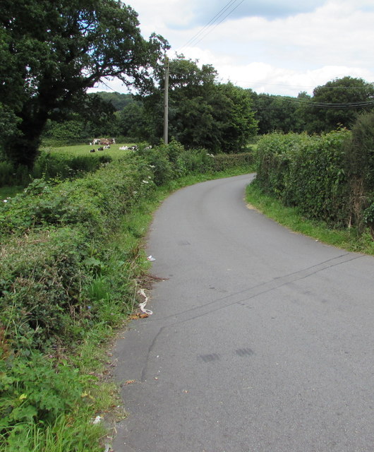
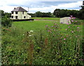
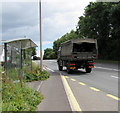
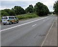
Photos of CF3 2XS
Area Information
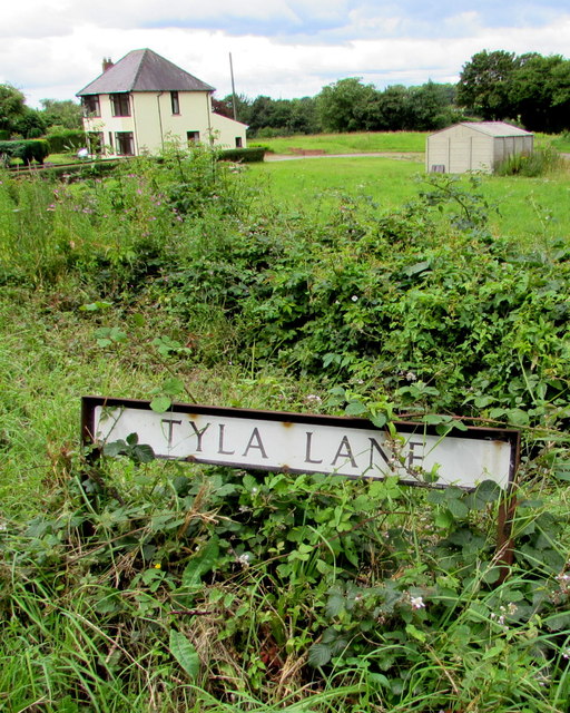
CF3 2XS is a small residential cluster in Wales, nestled within the village of Marshfield, which lies approximately 5 miles southwest of Newport city centre and 7 miles northeast of Cardiff. Covering 8.7 hectares, this area is home to 1,454 residents, reflecting a low population density of 165 people per square kilometre. The community is predominantly composed of adults aged 30–64, with a median age of 47, indicating a mature, stable population. Ownership of homes is high, with 92% of properties in private hands, suggesting a long-term residential character. The area’s history is rooted in rural traditions, from 14th-century sheep farming to 18th-century malt production, with landmarks like the Grade II* listed Church of St Mary the Virgin standing as a testament to its heritage. Modern life here balances rural tranquillity with proximity to urban centres, offering access to nearby cities, rail networks, and a mix of local amenities. Living in CF3 2XS means embracing a close-knit community with a strong sense of place, where historical roots meet contemporary needs.
- Area Type
- Postcode
- Area Size
- 8.7 hectares
- Population
- 1454
- Population Density
- 165 people/km²
The property market in CF3 2XS is dominated by owner-occupied homes, with 92% of properties in private hands. This high rate of home ownership suggests a community of long-term residents rather than a transient rental market. The accommodation type is exclusively houses, which is typical for rural or semi-rural areas where larger properties are more common. Given the small area size of 8.7 hectares and a population of 1,454, the housing stock is likely limited, with properties concentrated in a compact cluster. Buyers should consider the proximity to Newport and Cardiff, which may influence property values and desirability. The absence of flats or high-density housing means the market caters to those seeking traditional, family-oriented homes. For buyers, this small area’s immediate surroundings may offer additional options, but the core CF3 2XS postcode is likely to have a stable, low-volume market with limited new developments.
House Prices in CF3 2XS
Showing 1 properties
| Address | Type | Beds | Baths | Last Sale Price | Last Sale Date | |
|---|---|---|---|---|---|---|
| Stewards Flat, St Mellons Golf Club, Newport Road, Cardiff, CF3 2XS | Flat | - | - | - | - |
Energy Efficiency in CF3 2XS
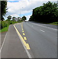
Living in CF3 2XS offers access to a mix of retail, transport, and community amenities within practical reach. Nearby shops include Morrisons Daily St, Tesco Cardiff, and Spar, providing everyday essentials. The area’s rail network is well-served by stations such as Pye Corner and Rogerstone, while ferry terminals at Newport and Cardiff connect to water-based transport options like the Cardiff Castle Waterbus Stop. The Cardiff Bus Interchange further enhances mobility. Locally, Marshfield itself features a village hall, post office, chemist, primary school, and two churches, including the historic St Mary the Virgin. A multi-use games area added in 2017 adds to recreational opportunities. The area’s character is defined by its blend of rural charm and urban accessibility, with amenities that cater to daily life, from shopping to education and leisure. This balance of convenience and community makes CF3 2XS appealing for those seeking a connected yet peaceful lifestyle.
Amenities
Schools
| Rank | School | Type | Entry gender | Ages |
|---|
Explore more schools in this area
Go to Schools tabDemographics
The population of CF3 2XS is predominantly adults aged 30–64, with a median age of 47. This suggests a community of established professionals and families, rather than a transient or youthful demographic. Home ownership is exceptionally high at 92%, indicating a preference for long-term residency over rental properties. The area is characterised by houses rather than flats, reflecting a suburban or semi-rural housing stock. The predominant ethnic group is White, though no specific data on diversity or deprivation is provided. The low population density of 165 people per square kilometre implies a spread-out, less congested environment. This profile aligns with the area’s historical role as a rural parish with a focus on agriculture and local industry. The demographic stability—combined with high ownership rates—suggests a community with strong ties to the area, where residents are likely to have lived for many years.
Household Size
Accommodation Type
Tenure
Ethnic Group
Religion
Household Composition
Age
Household Deprivation
NS-SEC
Explore more demographic insights in this area
Go to Demographics tabPlanning
Planning Constraints
- Flood RiskPremium
- Ramsar Wetland SitesPremium
- Area of Outstanding Natural BeautyPremium
- Protected Nature ReservePremium
- Protected WoodlandPremium
- Crime RiskPremium