Area Overview for Ringland Community
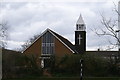
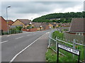
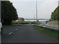
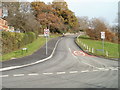
Photos of Ringland Community
Area Information
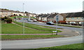
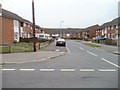
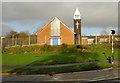
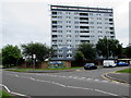
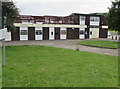
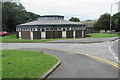
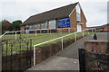
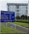
Ringland Community stands as a small civil parish covering an area of 2.4 km² within Wales. You will find a quiet, compact environment here where close-knit living defines the daily rhythm for residents. This parish is distinctive because it remains a rural settlement rather than an urban hub, offering a simpler pace of life away from larger towns. Your surroundings consist of a very specific acreage that fosters a sense of intimacy and local connection. When you consider homes in Ringland Community, you are entering a space where nature and residential life intersect directly. The limited size of the parish means that every street and open space is relatively close to the main living areas you will inhabit. Living in Ringland Community offers a distinct character shaped by its modest footprint. The community operates independently as a civil parish, which gives it a unique administrative identity within the broader Welsh landscape. You can expect a neighbourhood that prioritises local interaction over the hustle of bigger cities. The area functions as a self-contained unit where residents rely on one another more frequently than in sprawling metropolitan zones. Your day-to-day life will revolve around these tight boundaries, creating an atmosphere that values simplicity and stability. This makes Ringland Community a practical choice for those seeking a grounded lifestyle with clear geographical limits. The parish status ensures that local governance considers the specific needs of this small but defined population.
- Area Type
- Parish
- Area Size
- 2.4 km²
- Population
- Not available
- Population Density
- Not available
Demographics
The demographic profile of Ringland Community reveals a settlement dominated by older residents. Approximately 50% of the population owns their home, indicating a balanced market between owner-occupiers and tenants. The most common age range reflects a mature community, with a median age of 70 years. This statistic suggests that you are likely to live alongside neighbours who have resided here for decades, often enjoying retirement in peace. Household composition and accommodation type data are recorded for the area, though the specific breakdown of family units versus single-person households is not detailed in the current records. You should note that the absence of specific data on predominant ethnic groups or religious affiliations does not diminish the community's character. Instead, the clear age profile paints a picture of a village where long-term stability is the norm. A median age of 70 means that families with young children are less common than households in retirement or older adulthood. This demographic reality shapes the local services, leisure activities, and social gatherings you might observe during your time living in Ringland Community. The high home ownership rate of 50% suggests that many residents treat their homes as permanent anchors rather than temporary stops. It is a place where people settle down for a significant portion of their lives.
Household Size
Accommodation Type
Tenure
Ethnic Group
Religion
Household Composition
Age
Household Deprivation
NS-SEC
Explore more demographic insights in this area
Go to Demographics tabPlanning
Planning Constraints
- Flood RiskPremium
- Ramsar Wetland SitesPremium
- Area of Outstanding Natural BeautyPremium
- Protected Nature ReservePremium
- Protected WoodlandPremium
- Crime RiskPremium