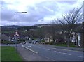
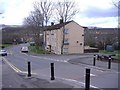
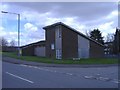
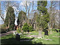
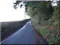
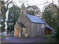
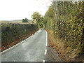
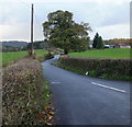
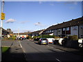
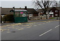
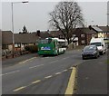
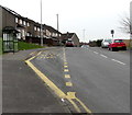
Area Overview for Bettws Community
Photos of Bettws Community
Area Information
Living in Bettws Community offers a stable environment within a civil parish that spans just over five square kilometres. You will find a population of around 4,278 residents concentrated into a relatively compact footprint, resulting in a population density of 833 people per square kilometre. This density suggests a neighbourhood where neighbours are accessible, yet the specific character of daily life relies on the local infrastructure rather than vast open spaces. As a designated parish, Bettws Community functions as a distinct administrative unit, providing a recognised sense of place for those seeking roots in this part of Wales. The area does not claim to be a sprawling metropolis or a secluded hinterland; instead, it presents a defined locality with clear boundaries and a resident base that has settled into a specific rhythm. You can expect a setting where the convenience of a local parish combines with the practical limitations of a small geographic size. Prospective buyers should view the 5.1 km² area as both an asset and a constraint, depending on your need for quiet versus convenience. The definition of life here is straightforward, anchored by the reality of its size and the presence of nearly 4,300 people who share the same public spaces and services.
- Area Type
- Parish
- Area Size
- 5.1 km²
- Population
- 4278
- Population Density
- 833 people/km²
Demographics
The community profile of Bettws Community is defined by a very elderly population. The median age sits at 70 years, indicating that a significant portion of your neighbours are seniors. While the dataset lists the most common age range as simply "Total," the high median age confirms that homes in this area cater overwhelmingly to older residents. You will likely engage with a demographic that has lived here for decades, creating a stable, age-heavy social fabric. Home ownership stands at 49%, which is nearly half of all households. This statistic means that exactly 4,900 people out of the total population in this parish either own their property outright or possess a mortgage. The data does not provide breakdowns for specific ethnic groups, religion, or detailed household compositions, so any assumptions about cultural diversity must be treated with caution. Without specific figures on deprivation indices, it is impossible to quantify the economic pressure faced by current residents. However, the very specific age structure suggests that household types will be dominated by couples living together or individuals living alone, rather than young families. When you consider buying here, you are entering a market where the primary demographic is senior, and the housing stock reflects that long-term settlement.
Household Size
Accommodation Type
Tenure
Ethnic Group
Religion
Household Composition
Age
Household Deprivation
NS-SEC
Explore more demographic insights in this area
Go to Demographics tabPlanning
Planning Constraints
- Flood RiskPremium
- Ramsar Wetland SitesPremium
- Area of Outstanding Natural BeautyPremium
- Protected Nature ReservePremium
- Protected WoodlandPremium
- Crime RiskPremium