Area Overview for Langstone Community
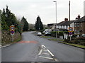
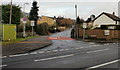
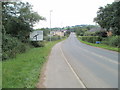
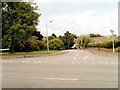
Photos of Langstone Community


Area Information
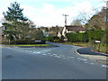
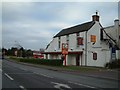
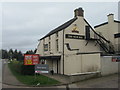
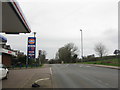
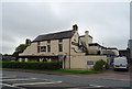
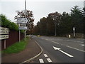
Langstone Community lies within Newport in Wales, spanning 14.8 km² as a civil parish. The area originated as a small linear settlement along the A48 (Chepstow Road) and Tregarn Road, historically known as Villa Segan. This name translates to land of the swamp, a description fitting for the region dating back to the 10th century. Today, the village maintains a countryside setting despite significant housing developments since the 1990s along Catsash Road, Tregarn Road, and Magor Road. Residents appreciate the balance between rural character and proximity to the M4 motorway. The site holds deep historical significance, with a Grade II listed parish church from the 13th century and scheduled ancient monuments including Kemeys Inferior Motte and Pencoed Castle. You can visit Langstone Court, an Elizabethan manor house divided into two separate properties, to see the local heritage firsthand. The population stood at 4,730 in 2019, making it a substantial part of the Bishton and Langstone electoral division. Living in Langstone Community offers access to a rich history of crop marks and Roman marching camps discovered as recently as 2018. The village grew steadily from 126 people in 1801 to its current size, reflecting long-term settlement stability. You will find a community defined by its ancient roots and modern residential expansion.
- Area Type
- Parish
- Area Size
- 14.8 km²
- Population
- Not available
- Population Density
- Not available
Demographics
People living in Langstone Community have a notably older population profile. The median age is 70, indicating a demographic skewed significantly toward retirement age residents. The most common age range recorded is simply listed as Total, without specific breakdowns for younger groups. With a home ownership rate of 90%, you will find that the vast majority of people in this parish own their properties outright. This high level of ownership suggests a stable, settled community where families and older residents reside for extended periods. There is little evidence of transient populations or large rental blocks dominating the streets. The data does not provide specific figures for household composition, predominant ethnic groups, or religious affiliations, so you cannot determine the level of diversity without further research. However, the overwhelming percentage of owner-occupied homes implies a traditional local character. This demographic structure means you are likely to encounter neighbours who have lived here for decades. The quiet nature of an 70-year-old median age often correlates with lower noise levels and a calm atmosphere. You should expect a community focused on stability rather than rapid change or youth culture.
Household Size
Accommodation Type
Tenure
Ethnic Group
Religion
Household Composition
Age
Household Deprivation
NS-SEC
Explore more demographic insights in this area
Go to Demographics tabPlanning
Planning Constraints
- Flood RiskPremium
- Ramsar Wetland SitesPremium
- Area of Outstanding Natural BeautyPremium
- Protected Nature ReservePremium
- Protected WoodlandPremium
- Crime RiskPremium