Area Overview for SA8 4NE
Photos of SA8 4NE
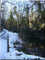
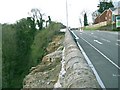
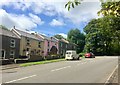
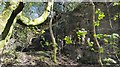
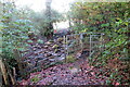
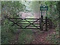
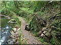
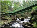
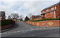
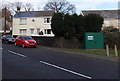
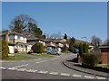
25 photos from this area
Area Information
Key information about the SA8 4NE including its size, population, and administrative classification.
- Area Type
- Postcode
- Area Size
- 1.6 hectares
- Population
- 2179
- Population Density
- 3075 people/km²
House Prices in SA8 4NE
33
Properties
£106,281
Average Sold Price
£37,500
Lowest Price
£211,500
Highest Price
Showing 33 properties
| Address | Type | Beds | Baths | Last Sale Price | Last Sale Date | |
|---|---|---|---|---|---|---|
| 6 West Crossways, Pontardawe, SA8 4NE | Semi-detached | 3 | 2 | £211,500 | Apr 2023 | |
| 10 West Crossways, Pontardawe, SA8 4NE | house | - | - | £170,000 | Jun 2022 | |
| 25 West Crossways, Pontardawe, SA8 4NE | house | - | - | £113,000 | May 2021 | |
| 19 West Crossways, Pontardawe, SA8 4NE | Semi-detached | 2 | 2 | £124,000 | Jan 2020 | |
| 4 West Crossways, Pontardawe, SA8 4NE | Semi-detached | 3 | 2 | £92,000 | Oct 2018 | |
| 16 West Crossways, Pontardawe, SA8 4NE | house | - | - | £100,000 | Sep 2017 | |
| 35 West Crossways, Pontardawe, SA8 4NE | Semi-detached | 3 | 1 | £96,500 | Nov 2015 | |
| 18 West Crossways, Pontardawe, SA8 4NE | Semi-detached | - | - | £105,000 | Apr 2014 | |
| 7 West Crossways, Pontardawe, SA8 4NE | house | - | - | £83,000 | Oct 2011 | |
| 13 West Crossways, Pontardawe, SA8 4NE | house | - | - | £210,000 | Apr 2009 |
Page 1 of 4
Energy Efficiency in SA8 4NE
Amenities
Schools
| Rank | School | Type | Entry gender | Ages |
|---|
Explore more schools in this area
Go to Schools tabDemographics
Household Size
Family (3-5 people)
most common
Accommodation Type
Houses
most common
Tenure
58
majority
Ethnic Group
White
most common
Religion
N/A
most common
Household Composition
N/A
most common
Age
47
median
Adults (30-64 years)
most common
Household Deprivation
N/A
with no deprivation
NS-SEC
26
in Lower managerial occupations
Explore more demographic insights in this area
Go to Demographics tabPlanning
Planning Constraints
- Flood RiskPremium
- Ramsar Wetland SitesPremium
- Area of Outstanding Natural BeautyPremium
- Protected Nature ReservePremium
- Protected WoodlandPremium
- Crime RiskPremium