Area Overview for SA8 3DP
Photos of SA8 3DP
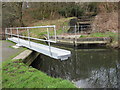
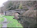
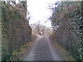
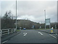
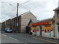
22 photos from this area
Area Information
Key information about the SA8 3DP including its size, population, and administrative classification.
- Area Type
- Postcode
- Area Size
- 11.8 hectares
- Population
- 2721
- Population Density
- 621 people/km²
House Prices in SA8 3DP
93
Properties
£221,302
Average Sold Price
£128,000
Lowest Price
£335,000
Highest Price
Showing 93 properties
| Address | Type | Beds | Baths | Last Sale Price | Last Sale Date | |
|---|---|---|---|---|---|---|
| 113 Bryn Morgrug, Alltwen, Pontardawe, SA8 3DP | Detached | 4 | 2 | £334,000 | Apr 2025 | |
| 121 Bryn Morgrug, Alltwen, Pontardawe, SA8 3DP | Detached | 3 | 2 | £287,500 | Apr 2025 | |
| 92 Bryn Morgrug, Alltwen, Pontardawe, SA8 3DP | house | - | - | £332,500 | Mar 2025 | |
| 112 Bryn Morgrug, Alltwen, Pontardawe, SA8 3DP | Detached | 3 | 2 | £278,000 | Jan 2025 | |
| 165 Bryn Morgrug, Alltwen, Pontardawe, SA8 3DP | house | 3 | 2 | £247,000 | Aug 2024 | |
| 70 Bryn Morgrug, Alltwen, Pontardawe, SA8 3DP | Detached | 4 | 3 | £330,000 | Apr 2024 | |
| 155 Bryn Morgrug, Alltwen, Pontardawe, SA8 3DP | Detached | 4 | 2 | £308,000 | Mar 2024 | |
| 122 Bryn Morgrug, Alltwen, Pontardawe, SA8 3DP | Detached | 3 | 2 | £292,000 | Mar 2024 | |
| 145 Bryn Morgrug, Alltwen, Pontardawe, SA8 3DP | Detached | 4 | 3 | £293,000 | Jan 2024 | |
| 84 Bryn Morgrug, Alltwen, Pontardawe, SA8 3DP | house | - | - | £170,000 | Nov 2023 |
Page 1 of 10
Energy Efficiency in SA8 3DP
Amenities
Schools
| Rank | School | Type | Entry gender | Ages |
|---|
Explore more schools in this area
Go to Schools tabDemographics
Household Size
Two person
most common
Accommodation Type
Houses
most common
Tenure
79
majority
Ethnic Group
White
most common
Religion
N/A
most common
Household Composition
N/A
most common
Age
47
median
Adults (30-64 years)
most common
Household Deprivation
N/A
with no deprivation
NS-SEC
36
in Lower managerial occupations
Explore more demographic insights in this area
Go to Demographics tabPlanning
Planning Constraints
- Flood RiskPremium
- Ramsar Wetland SitesPremium
- Area of Outstanding Natural BeautyPremium
- Protected Nature ReservePremium
- Protected WoodlandPremium
- Crime RiskPremium