Area Overview for SA18 1PT
Photos of SA18 1PT
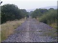
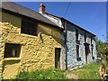
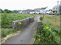
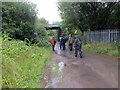
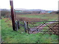
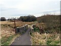
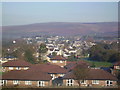

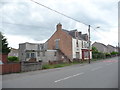
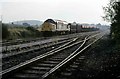
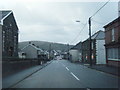
19 photos from this area
Area Information
Key information about the SA18 1PT including its size, population, and administrative classification.
- Area Type
- Postcode
- Area Size
- 3.6 hectares
- Population
- 1260
- Population Density
- 326 people/km²
House Prices in SA18 1PT
45
Properties
£78,642
Average Sold Price
£8,000
Lowest Price
£199,940
Highest Price
Showing 45 properties
| Address | Type | Beds | Baths | Last Sale Price | Last Sale Date | |
|---|---|---|---|---|---|---|
| 44A Heol Y Gors, Cwmgors, SA18 1PT | Semi-detached | 3 | 2 | £199,940 | Feb 2024 | |
| 81 Heol Y Gors, Cwmgors, SA18 1PT | Semi-detached | - | - | £92,000 | Jan 2024 | |
| 47 Heol Y Gors, Cwmgors, SA18 1PT | Terraced | 4 | 2 | £145,000 | Jan 2023 | |
| 26 Heol Y Gors, Cwmgors, SA18 1PT | Detached | 3 | 1 | £128,000 | May 2022 | |
| Golwg Deg, 43 Heol Y Gors, Cwmgors, SA18 1PT | Terraced | 2 | 1 | £90,000 | Mar 2022 | |
| 38 Heol Y Gors, Cwmgors, SA18 1PT | Semi-detached | 3 | 1 | £45,500 | Jul 2021 | |
| 42 Heol Y Gors, Cwmgors, SA18 1PT | Semi-detached | 3 | 1 | £120,000 | Jun 2019 | |
| 36 Heol Y Gors, Cwmgors, SA18 1PT | Semi-detached | 3 | 1 | £125,500 | May 2018 | |
| 30 Heol Y Gors, Cwmgors, Ammanford, SA18 1PT | Semi-detached | 3 | 1 | £117,500 | Nov 2015 | |
| 44 Heol Y Gors, Cwmgors, SA18 1PT | house | 4 | - | £160,000 | Oct 2014 |
Page 1 of 5
Energy Efficiency in SA18 1PT
Amenities
Schools
| Rank | School | Type | Entry gender | Ages |
|---|
Explore more schools in this area
Go to Schools tabDemographics
Household Size
Two person
most common
Accommodation Type
Houses
most common
Tenure
64
majority
Ethnic Group
White
most common
Religion
N/A
most common
Household Composition
N/A
most common
Age
47
median
Adults (30-64 years)
most common
Household Deprivation
N/A
with no deprivation
NS-SEC
22
in Lower managerial occupations
Explore more demographic insights in this area
Go to Demographics tabPlanning
Planning Constraints
- Flood RiskPremium
- Ramsar Wetland SitesPremium
- Area of Outstanding Natural BeautyPremium
- Protected Nature ReservePremium
- Protected WoodlandPremium
- Crime RiskPremium