Area Overview for SA18 1HG
Photos of SA18 1HG

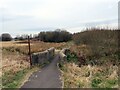
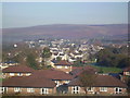

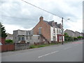

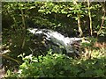
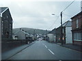
19 photos from this area
Area Information
Key information about the SA18 1HG including its size, population, and administrative classification.
- Area Type
- Postcode
- Area Size
- 2.2 hectares
- Population
- 1597
- Population Density
- 856 people/km²
House Prices in SA18 1HG
48
Properties
£85,549
Average Sold Price
£14,000
Lowest Price
£215,000
Highest Price
Showing 48 properties
| Address | Type | Beds | Baths | Last Sale Price | Last Sale Date | |
|---|---|---|---|---|---|---|
| 44 Heol Cae Gurwen, Gwaun Cae Gurwen, SA18 1HG | Semi-detached | 3 | 1 | £215,000 | Feb 2025 | |
| 56 Heol Cae Gurwen, Gwaun Cae Gurwen, SA18 1HG | Detached | 5 | 2 | £185,000 | Apr 2024 | |
| 36 Heol Cae Gurwen, Gwaun Cae Gurwen, SA18 1HG | Semi-detached | 3 | 1 | £116,875 | Feb 2024 | |
| 89 Heol Cae Gurwen, Gwaun Cae Gurwen, SA18 1HG | Terraced | 3 | 1 | £155,000 | May 2023 | |
| 47 Heol Cae Gurwen, Gwaun Cae Gurwen, SA18 1HG | Terraced | 3 | 1 | £103,500 | Aug 2021 | |
| 35 Heol Cae Gurwen, Gwaun Cae Gurwen, SA18 1HG | house | - | - | £127,000 | Jul 2021 | |
| 71 Heol Cae Gurwen, Gwaun Cae Gurwen, SA18 1HG | house | - | - | £70,000 | Dec 2020 | |
| 60 Heol Cae Gurwen, Gwaun Cae Gurwen, SA18 1HG | Semi-detached | 3 | 1 | £75,000 | Sep 2020 | |
| 45 Heol Cae Gurwen, Gwaun Cae Gurwen, Ammanford, SA18 1HG | Terraced | 2 | 1 | £60,000 | Apr 2020 | |
| 85 Heol Cae Gurwen, Gwaun Cae Gurwen, SA18 1HG | Terraced | 4 | 2 | £119,950 | Feb 2020 |
Page 1 of 5
Energy Efficiency in SA18 1HG
Amenities
Schools
| Rank | School | Type | Entry gender | Ages |
|---|
Explore more schools in this area
Go to Schools tabDemographics
Household Size
Two person
most common
Accommodation Type
Houses
most common
Tenure
68
majority
Ethnic Group
White
most common
Religion
N/A
most common
Household Composition
N/A
most common
Age
47
median
Adults (30-64 years)
most common
Household Deprivation
N/A
with no deprivation
NS-SEC
23
in Lower managerial occupations
Explore more demographic insights in this area
Go to Demographics tabPlanning
Planning Constraints
- Flood RiskPremium
- Ramsar Wetland SitesPremium
- Area of Outstanding Natural BeautyPremium
- Protected Nature ReservePremium
- Protected WoodlandPremium
- Crime RiskPremium