Area Overview for SA13 2EY
Photos of SA13 2EY
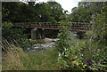
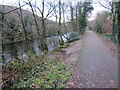
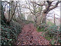
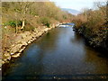
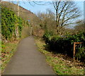
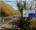
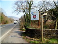
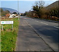
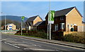
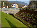
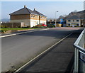
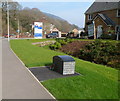
43 photos from this area
Area Information
Key information about the SA13 2EY including its size, population, and administrative classification.
- Area Type
- Postcode
- Area Size
- 19.9 hectares
- Population
- 1322
- Population Density
- 454 people/km²
House Prices in SA13 2EY
25
Properties
£188,246
Average Sold Price
£54,737
Lowest Price
£290,000
Highest Price
Showing 25 properties
| Address | Type | Beds | Baths | Last Sale Price | Last Sale Date | |
|---|---|---|---|---|---|---|
| Ty Ffynnon, Dan Y Ffynnon, Port Talbot, SA13 2EY | Detached | 3 | 3 | £290,000 | Jun 2019 | |
| Danyffynnon House, Dan Y Ffynnon, Port Talbot, SA13 2EY | Land | - | - | £220,000 | Nov 2003 | |
| Red Roofs, Dan Y Ffynnon, Port Talbot, SA13 2EY | house | - | - | £54,737 | Apr 2002 | |
| 2 Dan Y Ffynnon, Port Talbot, SA13 2EY | Semi-detached | 3 | 1 | - | - | |
| 3 Dan Y Ffynnon, Port Talbot, SA13 2EY | Semi-detached | 3 | 1 | - | - | |
| 14 Dan Y Ffynnon, Port Talbot, SA13 2EY | Terraced | 3 | 1 | - | - | |
| 5 Dan Y Ffynnon, Port Talbot, SA13 2EY | Semi-detached | 3 | 1 | - | - | |
| 19 Dan Y Ffynnon, Port Talbot, SA13 2EY | Bungalow | 2 | 1 | - | - | |
| The Cedars, 22 Dan Y Ffynnon, Port Talbot, SA13 2EY | Semi-detached | 2 | 1 | - | - | |
| 16 Dan Y Ffynnon, Port Talbot, SA13 2EY | house | 3 | - | - | - |
Page 1 of 3
Energy Efficiency in SA13 2EY
Amenities
Schools
| Rank | School | Type | Entry gender | Ages |
|---|
Explore more schools in this area
Go to Schools tabDemographics
Household Size
Two person
most common
Accommodation Type
Houses
most common
Tenure
83
majority
Ethnic Group
White
most common
Religion
N/A
most common
Household Composition
N/A
most common
Age
47
median
Adults (30-64 years)
most common
Household Deprivation
N/A
with no deprivation
NS-SEC
29
in Lower managerial occupations
Explore more demographic insights in this area
Go to Demographics tabPlanning
Planning Constraints
- Flood RiskPremium
- Ramsar Wetland SitesPremium
- Area of Outstanding Natural BeautyPremium
- Protected Nature ReservePremium
- Protected WoodlandPremium
- Crime RiskPremium