Area Overview for SA12 8TB
Photos of SA12 8TB
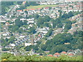
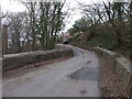
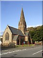
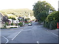
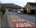
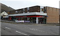
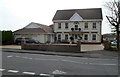
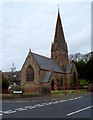
24 photos from this area
Area Information
Key information about the SA12 8TB including its size, population, and administrative classification.
- Area Type
- Postcode
- Area Size
- 1.1 hectares
- Population
- 1969
- Population Density
- 467 people/km²
House Prices in SA12 8TB
22
Properties
£124,293
Average Sold Price
£48,000
Lowest Price
£267,000
Highest Price
Showing 22 properties
| Address | Type | Beds | Baths | Last Sale Price | Last Sale Date | |
|---|---|---|---|---|---|---|
| 19 Sunnycroft Road, Baglan, SA12 8TB | house | - | - | £267,000 | Nov 2025 | |
| 5 Sunnycroft Road, Baglan, SA12 8TB | house | - | - | £150,000 | Sep 2024 | |
| 1 Sunnycroft Road, Baglan, SA12 8TB | house | - | - | £120,000 | May 2020 | |
| 8 Sunnycroft Road, Baglan, SA12 8TB | Semi-detached | 4 | 2 | £225,000 | Mar 2019 | |
| 12 Sunnycroft Road, Baglan, SA12 8TB | house | - | - | £93,000 | Nov 2015 | |
| 15 Sunnycroft Road, Baglan, SA12 8TB | Semi-detached | 3 | 1 | £136,000 | Aug 2014 | |
| 20 Sunnycroft Road, Baglan, SA12 8TB | house | 3 | - | £145,000 | May 2012 | |
| 2 Sunnycroft Road, Baglan, SA12 8TB | Semi-detached | - | - | £125,000 | May 2006 | |
| 9 Sunnycroft Road, Baglan, SA12 8TB | Semi-detached | - | - | £155,000 | Apr 2005 | |
| 17 Sunnycroft Road, Baglan, SA12 8TB | Semi-detached | - | - | £59,950 | Apr 2004 |
Page 1 of 3
Energy Efficiency in SA12 8TB
Amenities
Schools
| Rank | School | Type | Entry gender | Ages |
|---|
Explore more schools in this area
Go to Schools tabDemographics
Household Size
Family (3-5 people)
most common
Accommodation Type
Houses
most common
Tenure
83
majority
Ethnic Group
White
most common
Religion
N/A
most common
Household Composition
N/A
most common
Age
47
median
Adults (30-64 years)
most common
Household Deprivation
N/A
with no deprivation
NS-SEC
35
in Lower managerial occupations
Explore more demographic insights in this area
Go to Demographics tabPlanning
Planning Constraints
- Flood RiskPremium
- Ramsar Wetland SitesPremium
- Area of Outstanding Natural BeautyPremium
- Protected Nature ReservePremium
- Protected WoodlandPremium
- Crime RiskPremium