Area Overview for SA12 6LL
Photos of SA12 6LL
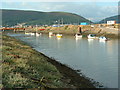
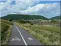
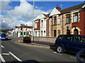
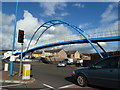
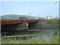
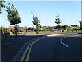
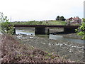
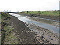
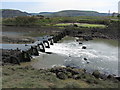
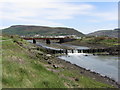
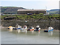
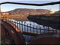
100 photos from this area
Area Information
Key information about the SA12 6LL including its size, population, and administrative classification.
- Area Type
- Postcode
- Area Size
- 1.8 hectares
- Population
- 1621
- Population Density
- 5901 people/km²
House Prices in SA12 6LL
23
Properties
£62,980
Average Sold Price
£23,250
Lowest Price
£96,000
Highest Price
Showing 23 properties
| Address | Type | Beds | Baths | Last Sale Price | Last Sale Date | |
|---|---|---|---|---|---|---|
| 160 Water Street, Aberavon, SA12 6LL | Terraced | 3 | 1 | £90,000 | Jun 2023 | |
| 156 Water Street, Aberavon, SA12 6LL | Terraced | 3 | 2 | £87,500 | Apr 2023 | |
| 170 Water Street, Aberavon, SA12 6LL | Terraced | 3 | 2 | £95,000 | Jul 2022 | |
| 152 Water Street, Aberavon, SA12 6LL | house | 3 | - | £82,500 | Apr 2021 | |
| 154 Water Street, Aberavon, SA12 6LL | Terraced | 3 | 1 | £65,000 | Mar 2017 | |
| 190 Water Street, Aberavon, SA12 6LL | Terraced | - | - | £96,000 | Oct 2007 | |
| 158 Water Street, Aberavon, SA12 6LL | Terraced | 3 | - | £75,000 | Nov 2005 | |
| 150 Water Street, Aberavon, SA12 6LL | Terraced | 3 | 1 | £50,000 | Jul 2004 | |
| 174 Water Street, Aberavon, SA12 6LL | Terraced | 4 | 1 | £64,995 | May 2004 | |
| 148 Water Street, Aberavon, SA12 6LL | Terraced | - | - | £27,500 | Feb 2002 |
Page 1 of 3
Energy Efficiency in SA12 6LL
Amenities
Schools
| Rank | School | Type | Entry gender | Ages |
|---|
Explore more schools in this area
Go to Schools tabDemographics
Household Size
One person
most common
Accommodation Type
Houses
most common
Tenure
43
majority
Ethnic Group
White
most common
Religion
N/A
most common
Household Composition
N/A
most common
Age
47
median
Adults (30-64 years)
most common
Household Deprivation
N/A
with no deprivation
NS-SEC
14
in Lower managerial occupations
Explore more demographic insights in this area
Go to Demographics tabPlanning
Planning Constraints
- Flood RiskPremium
- Ramsar Wetland SitesPremium
- Area of Outstanding Natural BeautyPremium
- Protected Nature ReservePremium
- Protected WoodlandPremium
- Crime RiskPremium