Area Overview for SA12 6EE
Photos of SA12 6EE
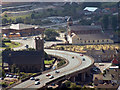
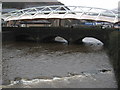
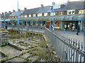
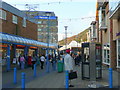
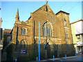
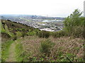
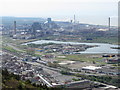
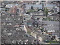
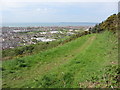
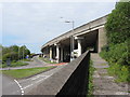
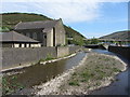
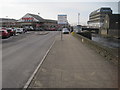
100 photos from this area
Area Information
Key information about the SA12 6EE including its size, population, and administrative classification.
- Area Type
- Postcode
- Area Size
- 6185 m²
- Population
- 1281
- Population Density
- 4643 people/km²
House Prices in SA12 6EE
39
Properties
£67,796
Average Sold Price
£30,000
Lowest Price
£115,000
Highest Price
Showing 39 properties
| Address | Type | Beds | Baths | Last Sale Price | Last Sale Date | |
|---|---|---|---|---|---|---|
| 8 Alexandra Street, Aberavon, SA12 6EE | Terraced | 3 | 1 | £95,000 | Apr 2025 | |
| 23 Alexandra Street, Aberavon, SA12 6EE | Terraced | 3 | 1 | £115,000 | Mar 2025 | |
| 14 Alexandra Street, Aberavon, SA12 6EE | Terraced | 3 | - | £85,000 | Feb 2025 | |
| 15 Alexandra Street, Aberavon, SA12 6EE | Terraced | 3 | 1 | £110,000 | Oct 2024 | |
| 38 Alexandra Street, Aberavon, SA12 6EE | Terraced | 3 | 1 | £100,000 | Oct 2024 | |
| 33 Alexandra Street, Aberavon, SA12 6EE | Terraced | 3 | 1 | £83,000 | Jan 2024 | |
| 22 Alexandra Street, Aberavon, SA12 6EE | Terraced | 3 | 1 | £75,500 | Mar 2023 | |
| 32 Alexandra Street, Aberavon, SA12 6EE | Terraced | 2 | 1 | £79,000 | Mar 2023 | |
| 25 Alexandra Street, Aberavon, SA12 6EE | Terraced | 3 | 1 | £97,000 | Mar 2023 | |
| 17 Alexandra Street, Aberavon, SA12 6EE | Terraced | 3 | 1 | £75,000 | Mar 2023 |
Page 1 of 4
Energy Efficiency in SA12 6EE
Amenities
Schools
| Rank | School | Type | Entry gender | Ages |
|---|
Explore more schools in this area
Go to Schools tabDemographics
Household Size
One person
most common
Accommodation Type
Houses
most common
Tenure
52
majority
Ethnic Group
White
most common
Religion
N/A
most common
Household Composition
N/A
most common
Age
47
median
Adults (30-64 years)
most common
Household Deprivation
N/A
with no deprivation
NS-SEC
17
in Lower managerial occupations
Explore more demographic insights in this area
Go to Demographics tabPlanning
Planning Constraints
- Flood RiskPremium
- Ramsar Wetland SitesPremium
- Area of Outstanding Natural BeautyPremium
- Protected Nature ReservePremium
- Protected WoodlandPremium
- Crime RiskPremium