Area Overview for SA11 5HN
Photos of SA11 5HN
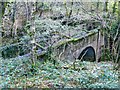

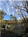
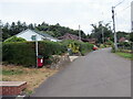
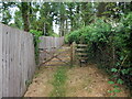
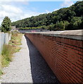
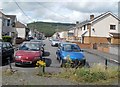
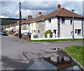
18 photos from this area
Area Information
Key information about the SA11 5HN including its size, population, and administrative classification.
- Area Type
- Postcode
- Area Size
- 2.3 hectares
- Population
- 1911
- Population Density
- 128 people/km²
House Prices in SA11 5HN
60
Properties
£78,747
Average Sold Price
£29,995
Lowest Price
£170,000
Highest Price
Showing 60 properties
| Address | Type | Beds | Baths | Last Sale Price | Last Sale Date | |
|---|---|---|---|---|---|---|
| 25A Ynys Cadwyn, Glynneath, SA11 5HN | Flat | 2 | 1 | £71,000 | Nov 2025 | |
| 12 Ynys Cadwyn, Glynneath, SA11 5HN | Semi-detached | 3 | 1 | £162,500 | Jul 2025 | |
| 38 Ynys Cadwyn, Glynneath, SA11 5HN | Semi-detached | 3 | - | £55,955 | Oct 2024 | |
| 52 Ynys Cadwyn, Glynneath, SA11 5HN | Semi-detached | 3 | 2 | £170,000 | Oct 2023 | |
| 14 Ynys Cadwyn, Glynneath, SA11 5HN | Semi-detached | 3 | 2 | £118,000 | Nov 2018 | |
| 54 Ynys Cadwyn, Glynneath, SA11 5HN | Semi-detached | 3 | 1 | £90,500 | Jul 2018 | |
| 50 Ynys Cadwyn, Glynneath, SA11 5HN | Semi-detached | 3 | - | £93,500 | Dec 2017 | |
| 35 Ynys Cadwyn, Glynneath, SA11 5HN | Semi-detached | 3 | 1 | £80,000 | Nov 2017 | |
| 51 Ynys Cadwyn, Glynneath, SA11 5HN | Semi-detached | 3 | 1 | £70,000 | Oct 2013 | |
| 34 Ynys Cadwyn, Glynneath, SA11 5HN | house | - | - | £77,000 | Jul 2013 |
Page 1 of 6
Energy Efficiency in SA11 5HN
Amenities
Schools
| Rank | School | Type | Entry gender | Ages |
|---|
Explore more schools in this area
Go to Schools tabDemographics
Household Size
Two person
most common
Accommodation Type
Houses
most common
Tenure
71
majority
Ethnic Group
White
most common
Religion
N/A
most common
Household Composition
N/A
most common
Age
47
median
Adults (30-64 years)
most common
Household Deprivation
N/A
with no deprivation
NS-SEC
20
in Lower managerial occupations
Explore more demographic insights in this area
Go to Demographics tabPlanning
Planning Constraints
- Flood RiskPremium
- Ramsar Wetland SitesPremium
- Area of Outstanding Natural BeautyPremium
- Protected Nature ReservePremium
- Protected WoodlandPremium
- Crime RiskPremium