Area Overview for SA11 5AP
Photos of SA11 5AP
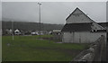
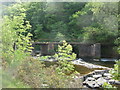
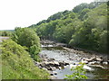
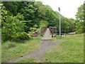
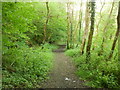
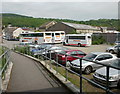
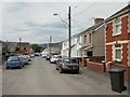
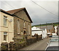
74 photos from this area
Area Information
Key information about the SA11 5AP including its size, population, and administrative classification.
- Area Type
- Postcode
- Area Size
- 5.5 hectares
- Population
- 1846
- Population Density
- 274 people/km²
House Prices in SA11 5AP
27
Properties
£80,604
Average Sold Price
£31,000
Lowest Price
£130,000
Highest Price
Showing 27 properties
| Address | Type | Beds | Baths | Last Sale Price | Last Sale Date | |
|---|---|---|---|---|---|---|
| 146 High Street, Glynneath, SA11 5AP | Terraced | 3 | - | £130,000 | Sep 2024 | |
| 142 High Street, Glynneath, SA11 5AP | Terraced | 2 | 1 | £112,500 | Jul 2024 | |
| 145 High Street, Glynneath, SA11 5AP | Terraced | 3 | 1 | £90,000 | Jun 2024 | |
| 123 High Street, Glynneath, SA11 5AP | Terraced | 3 | 1 | £78,750 | Jan 2024 | |
| 139 High Street, Glynneath, SA11 5AP | house | - | - | £130,000 | Nov 2021 | |
| 129 High Street, Glynneath, SA11 5AP | house | 4 | - | £110,000 | Aug 2020 | |
| 140 High Street, Glynneath, SA11 5AP | Terraced | 2 | 1 | £80,000 | Sep 2018 | |
| 121 High Street, Glynneath, SA11 5AP | Terraced | 2 | 1 | £43,500 | Jun 2018 | |
| Rock Cottage, High Street, Glynneath, SA11 5AP | Cottage | 3 | - | £50,000 | Apr 2014 | |
| 122 High Street, Glynneath, SA11 5AP | Terraced | - | - | £31,000 | Sep 2013 |
Page 1 of 3
Energy Efficiency in SA11 5AP
Amenities
Schools
| Rank | School | Type | Entry gender | Ages |
|---|
Explore more schools in this area
Go to Schools tabDemographics
Household Size
Two person
most common
Accommodation Type
Houses
most common
Tenure
76
majority
Ethnic Group
White
most common
Religion
N/A
most common
Household Composition
N/A
most common
Age
47
median
Adults (30-64 years)
most common
Household Deprivation
N/A
with no deprivation
NS-SEC
26
in Lower managerial occupations
Explore more demographic insights in this area
Go to Demographics tabPlanning
Planning Constraints
- Flood RiskPremium
- Ramsar Wetland SitesPremium
- Area of Outstanding Natural BeautyPremium
- Protected Nature ReservePremium
- Protected WoodlandPremium
- Crime RiskPremium