Area Overview for SA11 3SL
Photos of SA11 3SL
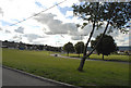
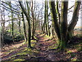
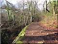
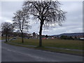
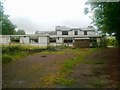
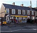
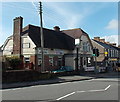
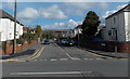
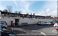
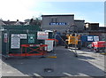
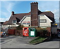
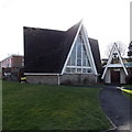
20 photos from this area
Area Information
Key information about the SA11 3SL including its size, population, and administrative classification.
- Area Type
- Postcode
- Area Size
- 8373 m²
- Population
- 1370
- Population Density
- 1040 people/km²
House Prices in SA11 3SL
20
Properties
£112,881
Average Sold Price
£39,500
Lowest Price
£180,000
Highest Price
Showing 20 properties
| Address | Type | Beds | Baths | Last Sale Price | Last Sale Date | |
|---|---|---|---|---|---|---|
| 5 Osprey Drive, Cimla, SA11 3SL | Retail | 2 | 1 | £164,000 | Aug 2025 | |
| 15 Osprey Drive, Cimla, SA11 3SL | Detached | 3 | 1 | £178,000 | Dec 2024 | |
| 3 Osprey Drive, Cimla, SA11 3SL | Semi-detached | 3 | 1 | £163,000 | Nov 2021 | |
| 21 Osprey Drive, Cimla, SA11 3SL | house | 3 | - | £180,000 | Oct 2020 | |
| 9 Osprey Drive, Cimla, SA11 3SL | Bungalow | 2 | 1 | £88,000 | Aug 2015 | |
| 2 Osprey Drive, Cimla, SA11 3SL | house | - | - | £124,000 | Jul 2013 | |
| 17 Osprey Drive, Cimla, SA11 3SL | Detached | - | - | £166,500 | Oct 2010 | |
| 4 Osprey Drive, Cimla, SA11 3SL | Semi-detached | - | - | £90,000 | Jun 2009 | |
| 14 Osprey Drive, Cimla, SA11 3SL | house | - | - | £111,000 | May 2003 | |
| 13 Osprey Drive, Cimla, SA11 3SL | Detached | - | - | £58,000 | Jun 2002 |
Page 1 of 2
Energy Efficiency in SA11 3SL
Amenities
Schools
| Rank | School | Type | Entry gender | Ages |
|---|
Explore more schools in this area
Go to Schools tabDemographics
Household Size
Two person
most common
Accommodation Type
Houses
most common
Tenure
88
majority
Ethnic Group
White
most common
Religion
N/A
most common
Household Composition
N/A
most common
Age
47
median
Adults (30-64 years)
most common
Household Deprivation
N/A
with no deprivation
NS-SEC
34
in Lower managerial occupations
Explore more demographic insights in this area
Go to Demographics tabPlanning
Planning Constraints
- Flood RiskPremium
- Ramsar Wetland SitesPremium
- Area of Outstanding Natural BeautyPremium
- Protected Nature ReservePremium
- Protected WoodlandPremium
- Crime RiskPremium