Area Overview for SA11 3DL
Photos of SA11 3DL
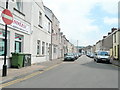
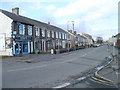
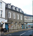
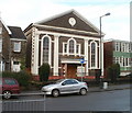
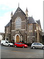
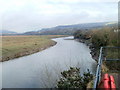
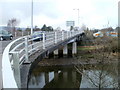
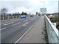
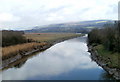
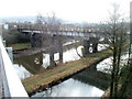
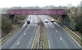
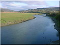
100 photos from this area
Area Information
Key information about the SA11 3DL including its size, population, and administrative classification.
- Area Type
- Postcode
- Area Size
- 1.1 hectares
- Population
- 1388
- Population Density
- 3866 people/km²
House Prices in SA11 3DL
40
Properties
£120,242
Average Sold Price
£22,500
Lowest Price
£300,000
Highest Price
Showing 40 properties
| Address | Type | Beds | Baths | Last Sale Price | Last Sale Date | |
|---|---|---|---|---|---|---|
| 42 Harle Street, Neath, SA11 3DL | Terraced | 3 | 1 | £135,000 | Jul 2025 | |
| 74 Harle Street, Neath, SA11 3DL | Semi-detached | 3 | 1 | £150,000 | Dec 2024 | |
| 56 Harle Street, Neath, SA11 3DL | house | 3 | 1 | £300,000 | Sep 2024 | |
| 22 Harle Street, Neath, SA11 3DL | house | - | - | £142,000 | Jan 2022 | |
| 50 Harle Street, Neath, SA11 3DL | house | - | - | £189,650 | Dec 2021 | |
| 30 Harle Street, Neath, SA11 3DL | Terraced | 3 | 1 | £116,000 | May 2019 | |
| 18 Harle Street, Neath, SA11 3DL | house | - | - | £110,000 | Sep 2018 | |
| 68 Harle Street, Neath, SA11 3DL | Semi-detached | 3 | - | £131,500 | Apr 2015 | |
| 26 Harle Street, Neath, SA11 3DL | Terraced | 3 | 2 | £115,000 | Jan 2014 | |
| 48 Harle Street, Neath, SA11 3DL | Terraced | - | - | £95,000 | Oct 2012 |
Page 1 of 4
Energy Efficiency in SA11 3DL
Amenities
Schools
| Rank | School | Type | Entry gender | Ages |
|---|
Explore more schools in this area
Go to Schools tabDemographics
Household Size
One person
most common
Accommodation Type
Houses
most common
Tenure
81
majority
Ethnic Group
White
most common
Religion
N/A
most common
Household Composition
N/A
most common
Age
47
median
Adults (30-64 years)
most common
Household Deprivation
N/A
with no deprivation
NS-SEC
34
in Lower managerial occupations
Explore more demographic insights in this area
Go to Demographics tabPlanning
Planning Constraints
- Flood RiskPremium
- Ramsar Wetland SitesPremium
- Area of Outstanding Natural BeautyPremium
- Protected Nature ReservePremium
- Protected WoodlandPremium
- Crime RiskPremium