Area Overview for SA11 2TA
Photos of SA11 2TA
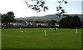
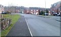
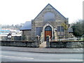
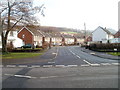
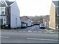
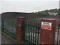
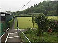
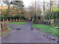
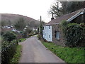
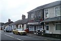
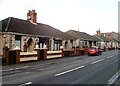
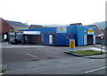
24 photos from this area
Area Information
Key information about the SA11 2TA including its size, population, and administrative classification.
- Area Type
- Postcode
- Area Size
- 1.8 hectares
- Population
- 1465
- Population Density
- 403 people/km²
House Prices in SA11 2TA
40
Properties
£42,583
Average Sold Price
£16,000
Lowest Price
£65,000
Highest Price
Showing 40 properties
| Address | Type | Beds | Baths | Last Sale Price | Last Sale Date | |
|---|---|---|---|---|---|---|
| 20 Farm Road, Briton Ferry, SA11 2TA | Terraced | 3 | 1 | £65,000 | Jun 2024 | |
| 3 Farm Road, Briton Ferry, SA11 2TA | house | - | - | £34,500 | Jan 2018 | |
| 26 Farm Road, Briton Ferry, SA11 2TA | Terraced | 2 | 1 | £38,000 | Dec 2016 | |
| 8 Farm Road, Briton Ferry, SA11 2TA | Maisonette | 3 | 1 | £45,000 | Nov 2015 | |
| 33 Farm Road, Briton Ferry, SA11 2TA | Flat | - | - | £35,000 | Sep 2015 | |
| 24 Farm Road, Briton Ferry, SA11 2TA | Terraced | 2 | 1 | £57,000 | Feb 2010 | |
| 18 Farm Road, Briton Ferry, SA11 2TA | Terraced | - | - | £62,000 | Jun 2007 | |
| 9 Farm Road, Briton Ferry, SA11 2TA | house | - | - | £55,000 | Apr 2004 | |
| 13 Farm Road, Briton Ferry, SA11 2TA | Terraced | - | - | £46,000 | Sep 2003 | |
| 22 Farm Road, Briton Ferry, SA11 2TA | Terraced | - | - | £16,000 | May 2001 |
Page 1 of 4
Energy Efficiency in SA11 2TA
Amenities
Schools
| Rank | School | Type | Entry gender | Ages |
|---|
Explore more schools in this area
Go to Schools tabDemographics
Household Size
One person
most common
Accommodation Type
Houses
most common
Tenure
71
majority
Ethnic Group
White
most common
Religion
N/A
most common
Household Composition
N/A
most common
Age
47
median
Adults (30-64 years)
most common
Household Deprivation
N/A
with no deprivation
NS-SEC
22
in Lower managerial occupations
Explore more demographic insights in this area
Go to Demographics tabPlanning
Planning Constraints
- Flood RiskPremium
- Ramsar Wetland SitesPremium
- Area of Outstanding Natural BeautyPremium
- Protected Nature ReservePremium
- Protected WoodlandPremium
- Crime RiskPremium