Area Overview for SA11 2HN
Photos of SA11 2HN
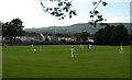
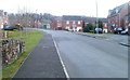

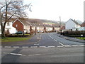
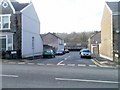

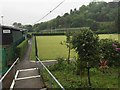
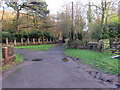
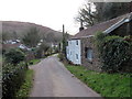
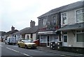
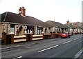

24 photos from this area
Area Information
Key information about the SA11 2HN including its size, population, and administrative classification.
- Area Type
- Postcode
- Area Size
- 4.5 hectares
- Population
- 1943
- Population Density
- 1380 people/km²
House Prices in SA11 2HN
41
Properties
£72,269
Average Sold Price
£17,000
Lowest Price
£135,000
Highest Price
Showing 41 properties
| Address | Type | Beds | Baths | Last Sale Price | Last Sale Date | |
|---|---|---|---|---|---|---|
| Richmond Cottage, 15 Pantyrheol, Neath, SA11 2HN | Terraced | 2 | 1 | £125,000 | Nov 2025 | |
| 67 Pant Yr Heol, Neath, SA11 2HN | Terraced | 3 | 1 | £83,248 | Apr 2024 | |
| 59 Pantyrheol, Neath, SA11 2HN | Terraced | 3 | 2 | £135,000 | Dec 2023 | |
| 31 Pantyrheol, Neath, SA11 2HN | Terraced | 2 | 1 | £110,000 | Nov 2022 | |
| 65 Pantyrheol, Neath, SA11 2HN | house | - | - | £98,000 | Sep 2022 | |
| 61B Pantyrheol, Neath, SA11 2HN | Flat | 1 | 1 | £74,000 | Jan 2022 | |
| 51 Pant Yr Heol, Neath, SA11 2HN | Terraced | 2 | 1 | £85,000 | Aug 2021 | |
| 41 Pantyrheol, Neath, SA11 2HN | house | - | - | £95,000 | Mar 2021 | |
| 29 Pantyrheol, Neath, SA11 2HN | Terraced | 3 | 1 | £75,000 | Feb 2021 | |
| 69 Pantyrheol, Neath, SA11 2HN | house | 3 | - | £95,000 | Oct 2020 |
Page 1 of 5
Energy Efficiency in SA11 2HN
Amenities
Schools
| Rank | School | Type | Entry gender | Ages |
|---|
Explore more schools in this area
Go to Schools tabDemographics
Household Size
One person
most common
Accommodation Type
Houses
most common
Tenure
52
majority
Ethnic Group
White
most common
Religion
N/A
most common
Household Composition
N/A
most common
Age
47
median
Adults (30-64 years)
most common
Household Deprivation
N/A
with no deprivation
NS-SEC
22
in Lower managerial occupations
Explore more demographic insights in this area
Go to Demographics tabPlanning
Planning Constraints
- Flood RiskPremium
- Ramsar Wetland SitesPremium
- Area of Outstanding Natural BeautyPremium
- Protected Nature ReservePremium
- Protected WoodlandPremium
- Crime RiskPremium