Area Overview for SA11 2DA
Photos of SA11 2DA

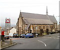
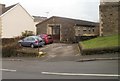
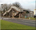
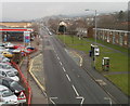
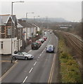
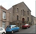
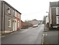
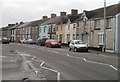
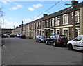
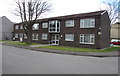
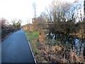
40 photos from this area
Area Information
Key information about the SA11 2DA including its size, population, and administrative classification.
- Area Type
- Postcode
- Area Size
- 5039 m²
- Population
- 1943
- Population Density
- 1380 people/km²
House Prices in SA11 2DA
20
Properties
£75,556
Average Sold Price
£15,000
Lowest Price
£110,000
Highest Price
Showing 20 properties
| Address | Type | Beds | Baths | Last Sale Price | Last Sale Date | |
|---|---|---|---|---|---|---|
| 17 School Road, Neath, SA11 2DA | house | - | - | £93,000 | Nov 2024 | |
| St Dyfrigs, School Road, Neath, SA11 2DA | Semi-detached | 3 | - | £50,000 | Jun 2024 | |
| 6 School Road, Neath, SA11 2DA | house | - | - | £80,000 | Nov 2022 | |
| Ael Y Bryn, School Road, Neath, SA11 2DA | Semi-detached | 2 | 1 | £72,000 | Apr 2022 | |
| 4 School Road, Neath, SA11 2DA | Terraced | 3 | 1 | £110,000 | Sep 2021 | |
| 15 School Road, Neath, SA11 2DA | Terraced | 3 | 1 | £106,000 | Jul 2020 | |
| 11 School Road, Neath, SA11 2DA | Terraced | - | - | £100,000 | Oct 2006 | |
| 18 School Road, Neath, SA11 2DA | house | - | - | £54,000 | Sep 2005 | |
| 5 School Road, Neath, SA11 2DA | house | - | - | £15,000 | May 2001 | |
| 14 School Road, Neath, SA11 2DA | Terraced | 3 | 1 | - | - |
Page 1 of 2
Energy Efficiency in SA11 2DA
Amenities
Schools
| Rank | School | Type | Entry gender | Ages |
|---|
Explore more schools in this area
Go to Schools tabDemographics
Household Size
One person
most common
Accommodation Type
Houses
most common
Tenure
52
majority
Ethnic Group
White
most common
Religion
N/A
most common
Household Composition
N/A
most common
Age
47
median
Adults (30-64 years)
most common
Household Deprivation
N/A
with no deprivation
NS-SEC
22
in Lower managerial occupations
Explore more demographic insights in this area
Go to Demographics tabPlanning
Planning Constraints
- Flood RiskPremium
- Ramsar Wetland SitesPremium
- Area of Outstanding Natural BeautyPremium
- Protected Nature ReservePremium
- Protected WoodlandPremium
- Crime RiskPremium