Area Overview for SA11 1SU
Photos of SA11 1SU
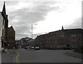
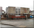
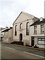
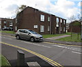
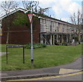

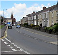
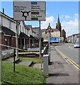
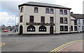

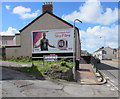
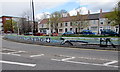
52 photos from this area
Area Information
Key information about the SA11 1SU including its size, population, and administrative classification.
- Area Type
- Postcode
- Area Size
- 1698 m²
- Population
- 1552
- Population Density
- 6727 people/km²
House Prices in SA11 1SU
16
Properties
£62,127
Average Sold Price
£27,500
Lowest Price
£94,400
Highest Price
Showing 16 properties
| Address | Type | Beds | Baths | Last Sale Price | Last Sale Date | |
|---|---|---|---|---|---|---|
| 9 Payne Street, Neath, SA11 1SU | Terraced | 2 | 1 | £94,400 | Jul 2025 | |
| 6 Payne Street, Neath, SA11 1SU | Retail | 2 | 1 | £75,500 | Dec 2021 | |
| 15 Payne Street, Neath, SA11 1SU | Terraced | 2 | 1 | £76,000 | Aug 2021 | |
| 5 Payne Street, Neath, SA11 1SU | house | 2 | 1 | £64,000 | Feb 2018 | |
| 7 Payne Street, Neath, SA11 1SU | Terraced | 3 | 1 | £60,000 | Nov 2015 | |
| 3 Payne Street, Neath, SA11 1SU | house | 2 | 1 | £68,000 | Nov 2012 | |
| 12 Payne Street, Neath, SA11 1SU | house | 2 | - | £47,000 | Nov 2011 | |
| 4 Payne Street, Neath, SA11 1SU | Terraced | 2 | 1 | £67,000 | Jun 2007 | |
| 13 Payne Street, Neath, SA11 1SU | Terraced | 2 | 1 | £66,000 | Feb 2007 | |
| 8 Payne Street, Neath, SA11 1SU | Terraced | 2 | 1 | £27,500 | Jan 2003 |
Page 1 of 2
Energy Efficiency in SA11 1SU
Amenities
Schools
| Rank | School | Type | Entry gender | Ages |
|---|
Explore more schools in this area
Go to Schools tabDemographics
Household Size
One person
most common
Accommodation Type
Houses
most common
Tenure
43
majority
Ethnic Group
White
most common
Religion
N/A
most common
Household Composition
N/A
most common
Age
47
median
Adults (30-64 years)
most common
Household Deprivation
N/A
with no deprivation
NS-SEC
16
in Lower managerial occupations
Explore more demographic insights in this area
Go to Demographics tabPlanning
Planning Constraints
- Flood RiskPremium
- Ramsar Wetland SitesPremium
- Area of Outstanding Natural BeautyPremium
- Protected Nature ReservePremium
- Protected WoodlandPremium
- Crime RiskPremium