Area Overview for SA11 1PW
Photos of SA11 1PW
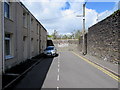
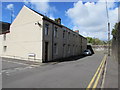
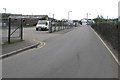
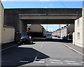
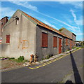

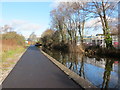
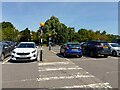
39 photos from this area
Area Information
Key information about the SA11 1PW including its size, population, and administrative classification.
- Area Type
- Postcode
- Area Size
- 1.4 hectares
- Population
- 1251
- Population Density
- 5610 people/km²
House Prices in SA11 1PW
35
Properties
£72,400
Average Sold Price
£48,100
Lowest Price
£104,000
Highest Price
Showing 35 properties
| Address | Type | Beds | Baths | Last Sale Price | Last Sale Date | |
|---|---|---|---|---|---|---|
| 44 King Street, Neath, SA11 1PW | Terraced | 2 | 1 | £82,500 | Jul 2025 | |
| 20 King Street, Neath, SA11 1PW | Terraced | 2 | 1 | £104,000 | Aug 2024 | |
| 27 King Street, Neath, SA11 1PW | Terraced | 2 | 1 | £79,000 | Jun 2023 | |
| 38 King Street, Neath, SA11 1PW | Terraced | 2 | 1 | £50,000 | May 2023 | |
| 31 King Street, Neath, SA11 1PW | house | - | - | £78,000 | Mar 2021 | |
| 39 King Street, Neath, SA11 1PW | Terraced | 2 | 1 | £81,500 | Mar 2021 | |
| 42 King Street, Neath, SA11 1PW | Terraced | 2 | 1 | £63,500 | Feb 2021 | |
| 26 King Street, Neath, SA11 1PW | Terraced | 2 | 1 | £72,500 | Nov 2020 | |
| 28 King Street, Neath, SA11 1PW | Terraced | 2 | 1 | £77,000 | Sep 2020 | |
| 29 King Street, Neath, SA11 1PW | house | - | - | £57,000 | Mar 2020 |
Page 1 of 4
Energy Efficiency in SA11 1PW
Amenities
Schools
| Rank | School | Type | Entry gender | Ages |
|---|
Explore more schools in this area
Go to Schools tabDemographics
Household Size
One person
most common
Accommodation Type
Houses
most common
Tenure
54
majority
Ethnic Group
White
most common
Religion
N/A
most common
Household Composition
N/A
most common
Age
47
median
Adults (30-64 years)
most common
Household Deprivation
N/A
with no deprivation
NS-SEC
17
in Lower managerial occupations
Explore more demographic insights in this area
Go to Demographics tabPlanning
Planning Constraints
- Flood RiskPremium
- Ramsar Wetland SitesPremium
- Area of Outstanding Natural BeautyPremium
- Protected Nature ReservePremium
- Protected WoodlandPremium
- Crime RiskPremium