Area Overview for SA10 9DU
Photos of SA10 9DU
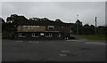
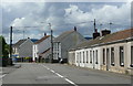
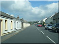
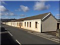
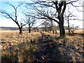
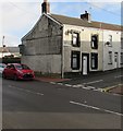
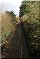
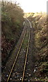
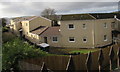
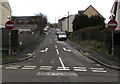
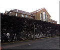
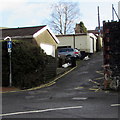
64 photos from this area
Area Information
Key information about the SA10 9DU including its size, population, and administrative classification.
- Area Type
- Postcode
- Area Size
- 2.1 hectares
- Population
- 2022
- Population Density
- 174 people/km²
House Prices in SA10 9DU
52
Properties
£79,166
Average Sold Price
£22,500
Lowest Price
£175,500
Highest Price
Showing 52 properties
| Address | Type | Beds | Baths | Last Sale Price | Last Sale Date | |
|---|---|---|---|---|---|---|
| 27 Church Road, Seven Sisters, SA10 9DU | Terraced | 3 | 1 | £140,450 | Jun 2025 | |
| 39 Church Road, Seven Sisters, SA10 9DU | house | - | - | £100,000 | Jul 2024 | |
| 45 Church Road, Seven Sisters, SA10 9DU | Terraced | 3 | 1 | £69,000 | Jun 2024 | |
| 30 Church Road, Seven Sisters, SA10 9DU | Bungalow | 2 | 1 | £90,000 | May 2024 | |
| 57 Church Road, Seven Sisters, SA10 9DU | house | - | - | £101,000 | Mar 2024 | |
| 23 Church Road, Seven Sisters, Neath, SA10 9DU | Flat | 3 | 1 | £75,000 | Oct 2023 | |
| 61 Church Road, Seven Sisters, SA10 9DU | Terraced | 3 | 1 | £128,000 | Aug 2023 | |
| 19 Church Road, Seven Sisters, SA10 9DU | house | - | - | £122,000 | Feb 2022 | |
| 12 Church Road, Seven Sisters, SA10 9DU | Bungalow | - | - | £96,000 | Nov 2021 | |
| 21 Church Road, Seven Sisters, SA10 9DU | Semi-detached | 3 | 1 | £155,000 | Oct 2021 |
Page 1 of 6
Energy Efficiency in SA10 9DU
Amenities
Schools
| Rank | School | Type | Entry gender | Ages |
|---|
Explore more schools in this area
Go to Schools tabDemographics
Household Size
Two person
most common
Accommodation Type
Houses
most common
Tenure
68
majority
Ethnic Group
White
most common
Religion
N/A
most common
Household Composition
N/A
most common
Age
47
median
Adults (30-64 years)
most common
Household Deprivation
N/A
with no deprivation
NS-SEC
20
in Lower managerial occupations
Explore more demographic insights in this area
Go to Demographics tabPlanning
Planning Constraints
- Flood RiskPremium
- Ramsar Wetland SitesPremium
- Area of Outstanding Natural BeautyPremium
- Protected Nature ReservePremium
- Protected WoodlandPremium
- Crime RiskPremium