Area Overview for SA10 8RG
Photos of SA10 8RG
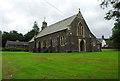
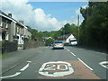
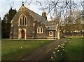
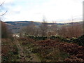
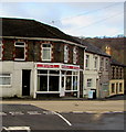
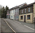
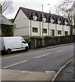
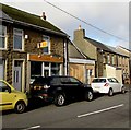
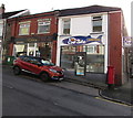
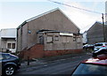
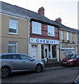
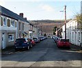
67 photos from this area
Area Information
Key information about the SA10 8RG including its size, population, and administrative classification.
- Area Type
- Postcode
- Area Size
- 4.3 hectares
- Population
- 1934
- Population Density
- 89 people/km²
House Prices in SA10 8RG
26
Properties
£81,250
Average Sold Price
£10,500
Lowest Price
£162,500
Highest Price
Showing 26 properties
| Address | Type | Beds | Baths | Last Sale Price | Last Sale Date | |
|---|---|---|---|---|---|---|
| 1 Woodland Road, Crynant, SA10 8RG | Semi-detached | 3 | 1 | £162,500 | Mar 2024 | |
| 9 Woodland Road, Crynant, SA10 8RG | Semi-detached | 3 | 1 | £95,000 | Aug 2022 | |
| 17 Woodland Road, Crynant, Neath, SA10 8RG | Semi-detached | 3 | 1 | £115,000 | Dec 2020 | |
| 19 Woodland Road, Crynant, SA10 8RG | house | 3 | - | £145,000 | Nov 2020 | |
| 6 Woodland Road, Crynant, SA10 8RG | Semi-detached | 3 | - | £85,000 | Sep 2017 | |
| 15 Woodland Road, Crynant, SA10 8RG | Semi-detached | 3 | 2 | £126,000 | Dec 2016 | |
| 11 Woodland Road, Crynant, SA10 8RG | house | - | - | £94,750 | Oct 2006 | |
| 12 Woodland Road, Crynant, SA10 8RG | Semi-detached | - | - | £66,000 | Oct 2004 | |
| 7 Woodland Road, Crynant, SA10 8RG | Semi-detached | - | - | £60,000 | Mar 2004 | |
| 10 Woodland Road, Crynant, SA10 8RG | Semi-detached | 3 | 1 | £34,000 | Jan 2002 |
Page 1 of 3
Energy Efficiency in SA10 8RG
Amenities
Schools
| Rank | School | Type | Entry gender | Ages |
|---|
Explore more schools in this area
Go to Schools tabDemographics
Household Size
Two person
most common
Accommodation Type
Houses
most common
Tenure
70
majority
Ethnic Group
White
most common
Religion
N/A
most common
Household Composition
N/A
most common
Age
47
median
Adults (30-64 years)
most common
Household Deprivation
N/A
with no deprivation
NS-SEC
29
in Lower managerial occupations
Explore more demographic insights in this area
Go to Demographics tabPlanning
Planning Constraints
- Flood RiskPremium
- Ramsar Wetland SitesPremium
- Area of Outstanding Natural BeautyPremium
- Protected Nature ReservePremium
- Protected WoodlandPremium
- Crime RiskPremium