Area Overview for SA10 8PF
Photos of SA10 8PF
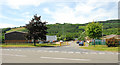
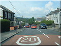
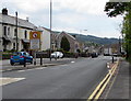
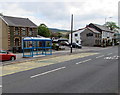
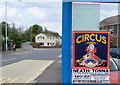
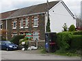
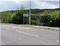
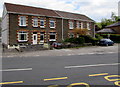
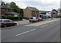
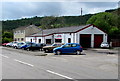
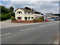
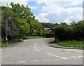
65 photos from this area
Area Information
Key information about the SA10 8PF including its size, population, and administrative classification.
- Area Type
- Postcode
- Area Size
- 1.5 hectares
- Population
- 1934
- Population Density
- 89 people/km²
House Prices in SA10 8PF
22
Properties
£103,281
Average Sold Price
£37,000
Lowest Price
£207,500
Highest Price
Showing 22 properties
| Address | Type | Beds | Baths | Last Sale Price | Last Sale Date | |
|---|---|---|---|---|---|---|
| 119 Main Road, Crynant, SA10 8PF | Terraced | 4 | 3 | £150,000 | Mar 2022 | |
| 103 Main Road, Crynant, SA10 8PF | house | - | - | £117,000 | Feb 2022 | |
| 95 Main Road, Crynant, SA10 8PF | house | - | - | £130,000 | Sep 2021 | |
| 91 Main Road, Crynant, SA10 8PF | Terraced | 3 | - | £135,000 | Jul 2021 | |
| 117 Main Road, Crynant, SA10 8PF | Detached | 3 | 1 | £207,500 | Nov 2019 | |
| 109 Main Road, Crynant, SA10 8PF | Semi-detached | 3 | 1 | £118,000 | Dec 2016 | |
| 123 Main Road, Crynant, SA10 8PF | Terraced | 3 | - | £75,000 | Feb 2016 | |
| Alba, Main Road, Crynant, SA10 8PF | Detached | 3 | 2 | £100,000 | Nov 2015 | |
| 93 Main Road, Crynant, SA10 8PF | house | 3 | - | £115,000 | Aug 2010 | |
| 101 Main Road, Crynant, SA10 8PF | Terraced | - | - | £102,500 | May 2008 |
Page 1 of 3
Energy Efficiency in SA10 8PF
Amenities
Schools
| Rank | School | Type | Entry gender | Ages |
|---|
Explore more schools in this area
Go to Schools tabDemographics
Household Size
Two person
most common
Accommodation Type
Houses
most common
Tenure
70
majority
Ethnic Group
White
most common
Religion
N/A
most common
Household Composition
N/A
most common
Age
47
median
Adults (30-64 years)
most common
Household Deprivation
N/A
with no deprivation
NS-SEC
29
in Lower managerial occupations
Explore more demographic insights in this area
Go to Demographics tabPlanning
Planning Constraints
- Flood RiskPremium
- Ramsar Wetland SitesPremium
- Area of Outstanding Natural BeautyPremium
- Protected Nature ReservePremium
- Protected WoodlandPremium
- Crime RiskPremium