Area Overview for SA10 8LR
Photos of SA10 8LR

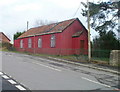
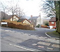
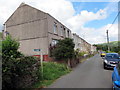
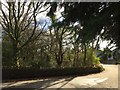
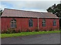
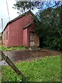
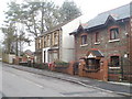
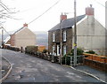
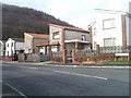
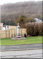

19 photos from this area
Area Information
Key information about the SA10 8LR including its size, population, and administrative classification.
- Area Type
- Postcode
- Area Size
- 1.8 hectares
- Population
- 2373
- Population Density
- 249 people/km²
House Prices in SA10 8LR
12
Properties
£133,939
Average Sold Price
£39,950
Lowest Price
£270,000
Highest Price
Showing 12 properties
| Address | Type | Beds | Baths | Last Sale Price | Last Sale Date | |
|---|---|---|---|---|---|---|
| 5, Pleasant Hill, Main Road, Cilfrew, SA10 8LR | house | - | - | £132,500 | Dec 2023 | |
| 8, Pleasant Hill, Main Road, Cilfrew, SA10 8LR | house | 4 | - | £270,000 | Dec 2020 | |
| 10, Pleasant Hill, Main Road, Cilfrew, SA10 8LR | Detached | 5 | 3 | £240,000 | Nov 2019 | |
| 4, Pleasant Hill, Main Road, Cilfrew, SA10 8LR | Terraced | 2 | 1 | £73,000 | Jul 2019 | |
| 1, Pleasant Hill, Main Road, Cilfrew, SA10 8LR | Terraced | 3 | 1 | £60,000 | Jan 2019 | |
| 11, Pleasant Hill, Main Road, Cilfrew, SA10 8LR | Detached | - | - | £250,000 | Nov 2017 | |
| 6, Pleasant Hill, Main Road, Cilfrew, SA10 8LR | house | - | - | £50,000 | Oct 2014 | |
| 3, Pleasant Hill, Main Road, Cilfrew, SA10 8LR | house | 2 | - | £90,000 | Sep 2010 | |
| 2, Pleasant Hill, Main Road, Cilfrew, SA10 8LR | Terraced | - | - | £39,950 | Jul 1997 | |
| 9, Woodland Lodge, Pleasant Hill, Main Road, Cilfrew, SA10 8LR | Detached | 6 | 3 | - | - |
Page 1 of 2
Energy Efficiency in SA10 8LR
Amenities
Schools
| Rank | School | Type | Entry gender | Ages |
|---|
Explore more schools in this area
Go to Schools tabDemographics
Household Size
Family (3-5 people)
most common
Accommodation Type
Houses
most common
Tenure
71
majority
Ethnic Group
White
most common
Religion
N/A
most common
Household Composition
N/A
most common
Age
47
median
Adults (30-64 years)
most common
Household Deprivation
N/A
with no deprivation
NS-SEC
32
in Lower managerial occupations
Explore more demographic insights in this area
Go to Demographics tabPlanning
Planning Constraints
- Flood RiskPremium
- Ramsar Wetland SitesPremium
- Area of Outstanding Natural BeautyPremium
- Protected Nature ReservePremium
- Protected WoodlandPremium
- Crime RiskPremium