Area Overview for Blaenhonddan Community
Photos of Blaenhonddan Community
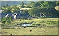
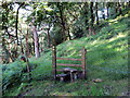
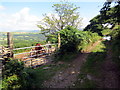
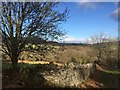
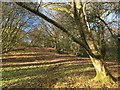
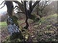
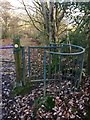
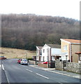
Area Information
Blaenhonddan Community stands as a distinct civil parish within the Neath Port Talbot county borough, south Wales. You live across a wide territory of 21.2 km² that encompasses six villages: Aberdulais, Cilfrew, Cadoxton, Caewern, Waunceirch and Bryncoch. This calculation results in a population density of 70 people per square kilometre, giving the location a notably rural character while remaining just outside the town of Neath. The community council has maintained its presence since 1894, providing a framework that supports local governance for a population currently recorded at 1,496. You are situated approximately 10 miles east of Swansea, balancing the peace of a countryside setting with convenient access to larger urban centres. Historical records note the area evolved from a hamlet within Cadoxton parish as early as 1870. Today, the landscape retains evidence of industrial, religious, and social history, complemented by five primary schools and several community centres. You will find numerous public footpaths weaving through the vicinity, encouraging outdoor activities. Blaenhonddan offers a specific blend of village life and proximity to the M4 Motorway, making it a viable option for those seeking a quieter address without isolating themselves from regional employment or travel hubs.
- Area Type
- Parish
- Area Size
- 21.2 km²
- Population
- 1496
- Population Density
- 70 people/km²
Demographics
The demographic profile of Blaenhonddan Community reveals a mature population with significant implications for the local environment. The median age records a figure of 70 years, which places this area ahead of the national average in terms of senior residency. Most residents fall into the broader age category designated as "Total," reflecting the wide spread across the population spectrum rather than a concentrated youth demographic. House ownership remains dominant, with 81% of households in Blaenhonddan owned outright or with a mortgage. This high rate suggests a stable community where families or individuals have secured their homes over the long term rather than participating in a transient rental market. Household composition data aggregates all resident types, indicating a mix that supports the area's aging profile. The property stock reflects this stability, with accommodation types sharing the same comprehensive classification across the parish. Diversity metrics identify the predominant ethnic group across the entire population, while religious affiliation data encompasses the total community. For you as a potential resident, these statistics highlight a neighbourhood accustomed to long-term settlement and a slower pace of life typical of areas with a high proportion of older homeowners. The 81% ownership figure is a concrete indicator of financial stability within the community structure.
Household Size
Accommodation Type
Tenure
Ethnic Group
Religion
Household Composition
Age
Household Deprivation
NS-SEC
Explore more demographic insights in this area
Go to Demographics tabPlanning
Planning Constraints
- Flood RiskPremium
- Ramsar Wetland SitesPremium
- Area of Outstanding Natural BeautyPremium
- Protected Nature ReservePremium
- Protected WoodlandPremium
- Crime RiskPremium