Area Overview for Ystalyfera Community
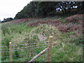
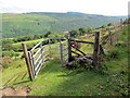
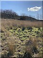
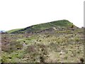
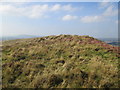
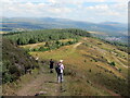
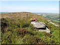
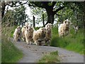
Photos of Ystalyfera Community
Area Information
Ystalyfera Community stands as a distinct civil parish within the upper Swansea Valley, situated approximately 13 miles northeast of Swansea. This location of 9.8 km² holds a unique position as a former industrial village that has transitioned into a post-industrial settlement. The area's identity is rooted in its historical evolution from a farming community to a coal mining and iron production centre, with the influential James Palmer Budd operating a furnace that once expanded into the world's largest tinplate works. Today, daily life revolves around a strong sense of community centred on local sports, including Ystalyfera RFC rugby club and cricket. Residents rely on the village for its intimate scale while commuting to Swansea or Neath for employment opportunities. The parish contains significant heritage sites such as Gurnos Chapel, which saw multiple rebuildings between 1839 and 1914, alongside several historic cemeteries. Living in Ystalyfera Community means choosing a village with deep historical layers, defined by landmarks like the Wern Fawr public house and Bryncelyn Brewery, set against a backdrop of quiet, small business-led commerce.
- Area Type
- Parish
- Area Size
- 9.8 km²
- Population
- Not available
- Population Density
- Not available
Demographics
The demographic profile of Ystalyfera Community reveals an older population, with the median age recorded at 70 years. This statistic indicates a community dominated by older adults rather than families with children, influencing the local services and social atmosphere. Home ownership stands at 65%, which suggests a stable, long-term resident base rather than a transient rental market. The data does not specify the breakdown of ethnic groups or religious affiliations for the total population, meaning the community's diversity is not quantified in available figures. While the age range description is listed as total, the high median age remains the primary defining characteristic of the household composition. This older demographic profile suggests that the town centre may cater specifically to retirement needs or the preferences of established local families. There are no specific deprivation indices included in the current data, so the quality of life assessment relies heavily on the median age and housing tenure rate. When considering homes in Ystalyfera, you are entering an area where the majority of residents are likely to be downsizing or settling in later life, creating a distinct social fabric compared to younger university towns or family hubs.
Household Size
Accommodation Type
Tenure
Ethnic Group
Religion
Household Composition
Age
Household Deprivation
NS-SEC
Explore more demographic insights in this area
Go to Demographics tabPlanning
Planning Constraints
- Flood RiskPremium
- Ramsar Wetland SitesPremium
- Area of Outstanding Natural BeautyPremium
- Protected Nature ReservePremium
- Protected WoodlandPremium
- Crime RiskPremium