Area Overview for NP7 9LR
Photos of NP7 9LR
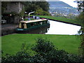
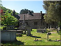
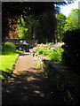
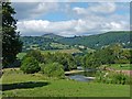
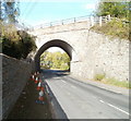
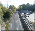
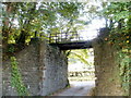
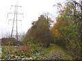
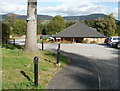
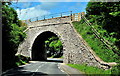
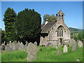
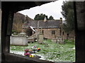
106 photos from this area
Area Information
Key information about the NP7 9LR including its size, population, and administrative classification.
- Area Type
- Postcode
- Area Size
- 61.0 hectares
- Population
- 1606
- Population Density
- 57 people/km²
House Prices in NP7 9LR
18
Properties
£634,800
Average Sold Price
£390,000
Lowest Price
£960,000
Highest Price
Showing 18 properties
| Address | Type | Beds | Baths | Last Sale Price | Last Sale Date | |
|---|---|---|---|---|---|---|
| South Lodge, Merthyr Road, Llanfoist, NP7 9LR | Detached | - | - | £960,000 | Nov 2022 | |
| Mar Lyn House, Merthyr Road, Llanfoist, NP7 9LR | house | - | - | £850,000 | Aug 2021 | |
| 1, White House Mews, Merthyr Road, Llanfoist, NP7 9LR | Semi-detached | - | - | £390,000 | Apr 2021 | |
| Pen Y Worlod Stables, Merthyr Road, Llanfoist, NP7 9LR | Detached | - | - | £400,000 | Oct 2020 | |
| White House Lodge, Merthyr Road, Llanfoist, NP7 9LR | house | 6 | - | £574,000 | Aug 2019 | |
| Llanfoist House, Merthyr Road, Llanfoist, NP7 9LR | Detached | 6 | 3 | - | - | |
| Le Chalet, Merthyr Road, Llanfoist, NP7 9LR | undefined | - | - | - | - | |
| Blorenge, Merthyr Road, Llanfoist, NP7 9LR | undefined | - | - | - | - | |
| Llanfoist Farm, Merthyr Road, Llanfoist, NP7 9LR | undefined | - | - | - | - | |
| Flat 1, Pen Y Worlod Farm, Merthyr Road, Llanfoist, NP7 9LR | Flat | - | - | - | - |
Page 1 of 2
Energy Efficiency in NP7 9LR
Amenities
Schools
| Rank | School | Type | Entry gender | Ages |
|---|
Explore more schools in this area
Go to Schools tabDemographics
Household Size
Two person
most common
Accommodation Type
Houses
most common
Tenure
77
majority
Ethnic Group
White
most common
Religion
N/A
most common
Household Composition
N/A
most common
Age
47
median
Adults (30-64 years)
most common
Household Deprivation
N/A
with no deprivation
NS-SEC
43
in Lower managerial occupations
Explore more demographic insights in this area
Go to Demographics tabPlanning
Planning Constraints
- Flood RiskPremium
- Ramsar Wetland SitesPremium
- Area of Outstanding Natural BeautyPremium
- Protected Nature ReservePremium
- Protected WoodlandPremium
- Crime RiskPremium