Area Overview for NP7 7DR
Photos of NP7 7DR
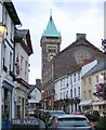
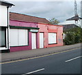
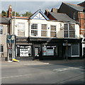
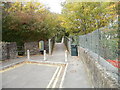
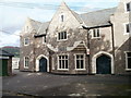
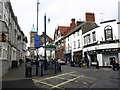
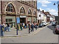
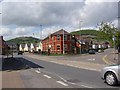
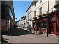
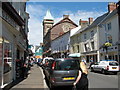
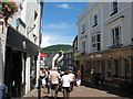
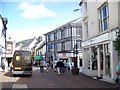
100 photos from this area
Area Information
Key information about the NP7 7DR including its size, population, and administrative classification.
- Area Type
- Postcode
- Area Size
- 1.6 hectares
- Population
- 1523
- Population Density
- 227 people/km²
House Prices in NP7 7DR
36
Properties
£338,583
Average Sold Price
£83,000
Lowest Price
£770,000
Highest Price
Showing 36 properties
| Address | Type | Beds | Baths | Last Sale Price | Last Sale Date | |
|---|---|---|---|---|---|---|
| 83 Chapel Road, Abergavenny, NP7 7DR | Semi-detached | 4 | 2 | £770,000 | Jul 2025 | |
| 1, Minas Villas, 91 Chapel Road, Abergavenny, NP7 7DR | house | - | - | £430,000 | Jul 2021 | |
| 79 Chapel Road, Abergavenny, NP7 7DR | house | - | - | £280,000 | Apr 2018 | |
| Rose Cottage, 87 Chapel Road, Abergavenny, NP7 7DR | Detached | 4 | - | £535,000 | Oct 2014 | |
| 81 Chapel Road, Abergavenny, NP7 7DR | house | - | - | £390,000 | Aug 2014 | |
| 85 Chapel Road, Abergavenny, NP7 7DR | Semi-detached | - | - | £353,000 | Jul 2006 | |
| Sparchford Villa, 77 Chapel Road, Abergavenny, NP7 7DR | house | - | - | £295,000 | Jun 2005 | |
| 109A Chapel Road, Abergavenny, NP7 7DR | Detached | - | - | £375,000 | Sep 2004 | |
| 95 Chapel Road, Abergavenny, NP7 7DR | Semi-detached | 3 | - | £176,000 | May 2003 | |
| 101 Chapel Road, Abergavenny, NP7 7DR | Semi-detached | - | - | £188,000 | Jun 2002 |
Page 1 of 4
Energy Efficiency in NP7 7DR
Amenities
Schools
| Rank | School | Type | Entry gender | Ages |
|---|
Explore more schools in this area
Go to Schools tabDemographics
Household Size
Two person
most common
Accommodation Type
Houses
most common
Tenure
86
majority
Ethnic Group
White
most common
Religion
N/A
most common
Household Composition
N/A
most common
Age
47
median
Elderly (65+ years)
most common
Household Deprivation
N/A
with no deprivation
NS-SEC
48
in Lower managerial occupations
Explore more demographic insights in this area
Go to Demographics tabPlanning
Planning Constraints
- Flood RiskPremium
- Ramsar Wetland SitesPremium
- Area of Outstanding Natural BeautyPremium
- Protected Nature ReservePremium
- Protected WoodlandPremium
- Crime RiskPremium