Area Overview for NP7 6AA
Photos of NP7 6AA
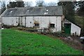
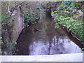
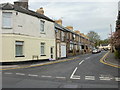
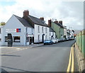
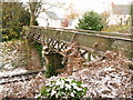
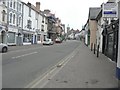
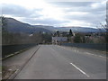
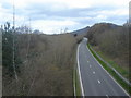
100 photos from this area
Area Information
Key information about the NP7 6AA including its size, population, and administrative classification.
- Area Type
- Postcode
- Area Size
- 7640 m²
- Population
- 1573
- Population Density
- 4355 people/km²
House Prices in NP7 6AA
15
Properties
£296,375
Average Sold Price
£155,000
Lowest Price
£386,000
Highest Price
Showing 15 properties
| Address | Type | Beds | Baths | Last Sale Price | Last Sale Date | |
|---|---|---|---|---|---|---|
| Brynafel, 95 Hereford Road, Abergavenny, NP7 6AA | Semi-detached | 3 | 1 | £382,500 | Jun 2024 | |
| 91 Hereford Road, Abergavenny, NP7 6AA | Bungalow | 3 | 1 | £362,000 | Dec 2023 | |
| Grosvenor, 93 Hereford Road, Abergavenny, NP7 6AA | Retail | 3 | 1 | £386,000 | Aug 2022 | |
| Park Dale, 99 Hereford Road, Abergavenny, NP7 6AA | Semi-detached | 3 | 1 | £340,000 | Nov 2021 | |
| 97 Hereford Road, Abergavenny, NP7 6AA | house | 4 | 2 | £220,500 | Apr 2018 | |
| Stonecot, 77 Hereford Road, Abergavenny, NP7 6AA | house | 3 | - | £155,000 | Jul 2017 | |
| 103 Hereford Road, Abergavenny, NP7 6AA | Detached | 3 | 1 | £285,000 | Dec 2016 | |
| 68 Hereford Road, Abergavenny, NP7 6AA | house | 4 | - | £240,000 | Jun 2011 | |
| Tweedsmuir, 101 Hereford Road, Abergavenny, NP7 6AA | Land | - | - | - | - | |
| Greensleeves, 107 Hereford Road, Abergavenny, NP7 6AA | Detached | 4 | 2 | - | - |
Page 1 of 2
Energy Efficiency in NP7 6AA
Amenities
Schools
| Rank | School | Type | Entry gender | Ages |
|---|
Explore more schools in this area
Go to Schools tabDemographics
Household Size
One person
most common
Accommodation Type
Houses
most common
Tenure
56
majority
Ethnic Group
White
most common
Religion
N/A
most common
Household Composition
N/A
most common
Age
47
median
Adults (30-64 years)
most common
Household Deprivation
N/A
with no deprivation
NS-SEC
30
in Lower managerial occupations
Explore more demographic insights in this area
Go to Demographics tabPlanning
Planning Constraints
- Flood RiskPremium
- Ramsar Wetland SitesPremium
- Area of Outstanding Natural BeautyPremium
- Protected Nature ReservePremium
- Protected WoodlandPremium
- Crime RiskPremium