Area Overview for NP7 5ER
Photos of NP7 5ER
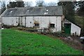
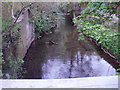
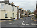
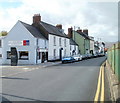
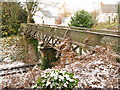
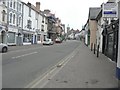
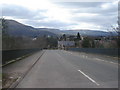
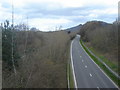
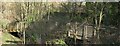
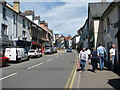
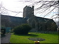
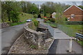
100 photos from this area
Area Information
Key information about the NP7 5ER including its size, population, and administrative classification.
- Area Type
- Postcode
- Area Size
- 5745 m²
- Population
- 1574
- Population Density
- 2513 people/km²
House Prices in NP7 5ER
29
Properties
£140,000
Average Sold Price
£140,000
Lowest Price
£140,000
Highest Price
Showing 29 properties
| Address | Type | Beds | Baths | Last Sale Price | Last Sale Date | |
|---|---|---|---|---|---|---|
| The Music Studio, 45A Cross Street, Abergavenny, NP7 5ER | Flat | 2 | - | £140,000 | Apr 2011 | |
| Flat, 43 Cross Street, Abergavenny, NP7 5ER | Retail | - | 2 | - | - | |
| Conversion Of Rear Annexe, Cross Street, Abergavenny, NP7 5ER | Terraced | - | - | - | - | |
| First Floor Flat, 34 Cross Street, Abergavenny, NP7 5ER | Flat | - | - | - | - | |
| Flat 2, 44 Cross Street, Abergavenny, NP7 5ER | Flat | - | - | - | - | |
| Flat 1, 44 Cross Street, Abergavenny, NP7 5ER | Maisonette | 3 | - | - | - | |
| Gwent Tools Ltd, Store To The Rear Of 46, Cross Street, Abergavenny, NP7 5ER | warehouse | - | - | - | - | |
| Flat, 40 Cross Street, Abergavenny, NP7 5ER | Flat | - | - | - | - | |
| Star Legal Ltd, Swan House, 33A Cross Street, Abergavenny, NP7 5ER | Office | - | - | - | - | |
| Part First Floor And Second Floor, Swan House, 33A Cross Street, Abergavenny, NP7 5ER | Office | - | - | - | - |
Page 1 of 3
Energy Efficiency in NP7 5ER
Amenities
Schools
| Rank | School | Type | Entry gender | Ages |
|---|
Explore more schools in this area
Go to Schools tabDemographics
Household Size
One person
most common
Accommodation Type
Houses
most common
Tenure
71
majority
Ethnic Group
White
most common
Religion
N/A
most common
Household Composition
N/A
most common
Age
47
median
Adults (30-64 years)
most common
Household Deprivation
N/A
with no deprivation
NS-SEC
46
in Lower managerial occupations
Explore more demographic insights in this area
Go to Demographics tabPlanning
Planning Constraints
- Flood RiskPremium
- Ramsar Wetland SitesPremium
- Area of Outstanding Natural BeautyPremium
- Protected Nature ReservePremium
- Protected WoodlandPremium
- Crime RiskPremium