Area Overview for NP7 5DT
Photos of NP7 5DT
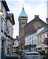
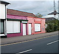
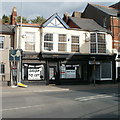
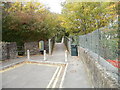
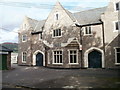
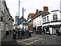
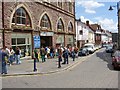
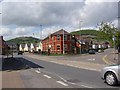
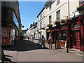
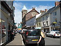
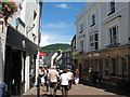
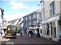
100 photos from this area
Area Information
Key information about the NP7 5DT including its size, population, and administrative classification.
- Area Type
- Postcode
- Area Size
- 2122 m²
- Population
- 1802
- Population Density
- 1599 people/km²
House Prices in NP7 5DT
13
Properties
£110,429
Average Sold Price
£34,500
Lowest Price
£250,000
Highest Price
Showing 13 properties
| Address | Type | Beds | Baths | Last Sale Price | Last Sale Date | |
|---|---|---|---|---|---|---|
| 46 Victoria Street, Abergavenny, NP7 5DT | Terraced | 1 | 1 | £202,500 | Oct 2023 | |
| 48 Victoria Street, Abergavenny, NP7 5DT | house | 2 | - | £250,000 | Oct 2022 | |
| 52 Victoria Street, Abergavenny, NP7 5DT | Terraced | - | - | £120,000 | Apr 2006 | |
| 58A Victoria Street, Abergavenny, NP7 5DT | Flat | - | - | £44,000 | Jun 2002 | |
| 58 Victoria Street, Abergavenny, NP7 5DT | Terraced | - | - | £68,000 | Jul 2001 | |
| 42 Victoria Street, Abergavenny, NP7 5DT | Terraced | - | - | £54,000 | Aug 2000 | |
| 54 Victoria Street, Abergavenny, NP7 5DT | Terraced | - | - | £34,500 | Jul 1998 | |
| 50 Victoria Street, Abergavenny, NP7 5DT | Terraced | 2 | 1 | - | - | |
| Managers Accommodation, Somerset Arms, Victoria Street, Abergavenny, NP7 5DT | Flat | - | - | - | - | |
| 56 Victoria Street, Abergavenny, NP7 5DT | Terraced | - | - | - | - |
Page 1 of 2
Energy Efficiency in NP7 5DT
Amenities
Schools
| Rank | School | Type | Entry gender | Ages |
|---|
Explore more schools in this area
Go to Schools tabDemographics
Household Size
One person
most common
Accommodation Type
Houses
most common
Tenure
51
majority
Ethnic Group
White
most common
Religion
N/A
most common
Household Composition
N/A
most common
Age
47
median
Adults (30-64 years)
most common
Household Deprivation
N/A
with no deprivation
NS-SEC
35
in Lower managerial occupations
Explore more demographic insights in this area
Go to Demographics tabPlanning
Planning Constraints
- Flood RiskPremium
- Ramsar Wetland SitesPremium
- Area of Outstanding Natural BeautyPremium
- Protected Nature ReservePremium
- Protected WoodlandPremium
- Crime RiskPremium