Area Overview for NP7 0EE
Photos of NP7 0EE
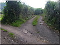
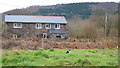
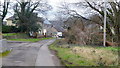
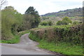
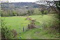
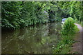
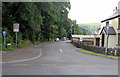
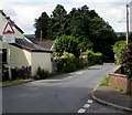
34 photos from this area
Area Information
Key information about the NP7 0EE including its size, population, and administrative classification.
- Area Type
- Postcode
- Area Size
- 64.5 hectares
- Population
- 1601
- Population Density
- 417 people/km²
House Prices in NP7 0EE
26
Properties
£366,896
Average Sold Price
£71,000
Lowest Price
£650,000
Highest Price
Showing 26 properties
| Address | Type | Beds | Baths | Last Sale Price | Last Sale Date | |
|---|---|---|---|---|---|---|
| Ty Mawr Cottage, Lower Common, Gilwern, NP7 0EE | Detached | 4 | 1 | £557,000 | Aug 2025 | |
| Duffryn Mawr Lodge, Lower Common, Gilwern, NP7 0EE | Cottage | 3 | 2 | £650,000 | Sep 2024 | |
| Coppins, Tyr Common, Gilwern, NP7 0EE | Bungalow | 3 | 1 | £320,000 | Jan 2021 | |
| Trederwen, Lower Common, Gilwern, NP7 0EE | Land | 4 | - | £425,000 | Jul 2018 | |
| Great Oak, Lower Common, Gilwern, NP7 0EE | house | 4 | - | £539,000 | Jul 2018 | |
| Ysgubor Cae Ceffyll, Lower Common, Gilwern, NP7 0EE | house | - | - | £550,000 | Jun 2018 | |
| Cartref, Lower Common, Gilwern, NP7 0EE | Detached | 5 | - | £372,000 | Jul 2015 | |
| Ty Newydd, Lower Common, Gilwern, NP7 0EE | Detached | 5 | - | £365,000 | May 2015 | |
| The Kennels, Lower Common, Gilwern, NP7 0EE | house | 4 | - | £250,000 | Apr 2010 | |
| Badgers Drift, Lower Common, Gilwern, NP7 0EE | house | - | - | £110,000 | Apr 2001 |
Page 1 of 3
Energy Efficiency in NP7 0EE
Amenities
Schools
| Rank | School | Type | Entry gender | Ages |
|---|
Explore more schools in this area
Go to Schools tabDemographics
Household Size
Two person
most common
Accommodation Type
Houses
most common
Tenure
93
majority
Ethnic Group
White
most common
Religion
N/A
most common
Household Composition
N/A
most common
Age
47
median
Adults (30-64 years)
most common
Household Deprivation
N/A
with no deprivation
NS-SEC
49
in Lower managerial occupations
Explore more demographic insights in this area
Go to Demographics tabPlanning
Planning Constraints
- Flood RiskPremium
- Ramsar Wetland SitesPremium
- Area of Outstanding Natural BeautyPremium
- Protected Nature ReservePremium
- Protected WoodlandPremium
- Crime RiskPremium