Area Overview for NP4 0TH
Photos of NP4 0TH
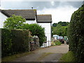
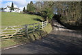
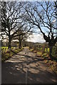
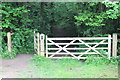
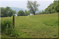
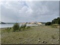
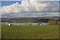
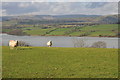
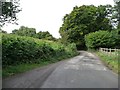
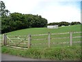
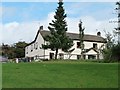
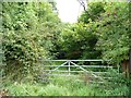
16 photos from this area
Area Information
Key information about the NP4 0TH including its size, population, and administrative classification.
- Area Type
- Postcode
- Area Size
- 1.2 km²
- Population
- 1373
- Population Density
- 33 people/km²
House Prices in NP4 0TH
19
Properties
£403,875
Average Sold Price
£214,000
Lowest Price
£545,000
Highest Price
Showing 19 properties
| Address | Type | Beds | Baths | Last Sale Price | Last Sale Date | |
|---|---|---|---|---|---|---|
| Tower Lodge, Parc Road To Oak Ridge, Coed Y Paen, NP4 0TH | Retail | 3 | 2 | £491,500 | Nov 2022 | |
| Oak Ridge, Oak Ridge To Llanbadoc, Llanbadoc, NP4 0TH | Detached | 4 | - | £545,000 | Aug 2014 | |
| Ty-yn-y-coed, Parc Road To Oak Ridge, Coed Y Paen, NP4 0TH | Detached | - | - | £365,000 | Oct 2006 | |
| The Barons, Parc Road To Oak Ridge, Coed Y Paen, NP4 0TH | Bungalow | - | - | £214,000 | Feb 2001 | |
| Residential Quarters, The Carpenters Arms, Parc Road To Oak Ridge, Coed Y Paen, NP4 0TH | pub | - | - | - | - | |
| Westbirch, Parc Road To Oak Ridge, Coed Y Paen, NP4 0TH | Detached | 5 | 5 | - | - | |
| Hillcrest, Parc Road To Oak Ridge, Coed Y Paen, NP4 0TH | Detached | 3 | 1 | - | - | |
| Proposed New Dwelling, Parc Road To Oak Ridge, Coed Y Paen, NP4 0TH | Detached | - | - | - | - | |
| Ty Heulwen, Parc Road To Oak Ridge, Coed Y Paen, NP4 0TH | Detached | - | - | - | - | |
| Trees, Parc Road, Coed Y Paen, NP4 0TH | Detached | - | - | - | - |
Page 1 of 2
Energy Efficiency in NP4 0TH
Amenities
Schools
| Rank | School | Type | Entry gender | Ages |
|---|
Explore more schools in this area
Go to Schools tabDemographics
Household Size
Two person
most common
Accommodation Type
Houses
most common
Tenure
84
majority
Ethnic Group
White
most common
Religion
N/A
most common
Household Composition
N/A
most common
Age
47
median
Adults (30-64 years)
most common
Household Deprivation
N/A
with no deprivation
NS-SEC
43
in Lower managerial occupations
Explore more demographic insights in this area
Go to Demographics tabPlanning
Planning Constraints
- Flood RiskPremium
- Ramsar Wetland SitesPremium
- Area of Outstanding Natural BeautyPremium
- Protected Nature ReservePremium
- Protected WoodlandPremium
- Crime RiskPremium