Area Overview for NP4 0BD
Photos of NP4 0BD
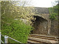
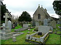
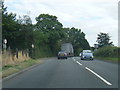
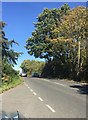
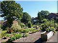

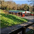
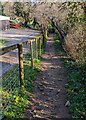
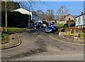

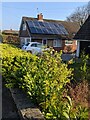
100 photos from this area
Area Information
Key information about the NP4 0BD including its size, population, and administrative classification.
- Area Type
- Postcode
- Area Size
- 1.5 hectares
- Population
- 1132
- Population Density
- 60 people/km²
House Prices in NP4 0BD
33
Properties
£215,505
Average Sold Price
£82,000
Lowest Price
£365,000
Highest Price
Showing 33 properties
| Address | Type | Beds | Baths | Last Sale Price | Last Sale Date | |
|---|---|---|---|---|---|---|
| 50 Longhouse Barn, Penperlleni, Goytre, NP4 0BD | Detached | 4 | 1 | £365,000 | Aug 2024 | |
| 35 Longhouse Barn, Penperlleni, Goytre, NP4 0BD | Semi-detached | 3 | - | £317,125 | Apr 2023 | |
| 56 Longhouse Barn, Penperlleni, Goytre, NP4 0BD | Bungalow | 4 | - | £320,000 | Mar 2021 | |
| 65 Longhouse Barn, Penperlleni, Goytre, NP4 0BD | Detached | 4 | 1 | £240,000 | Nov 2019 | |
| 46 Longhouse Barn, Penperlleni, Goytre, NP4 0BD | Semi-detached | 3 | - | £200,000 | Jul 2019 | |
| 51 Longhouse Barn, Penperlleni, Goytre, NP4 0BD | house | - | - | £362,000 | Jan 2017 | |
| 54 Longhouse Barn, Penperlleni, Goytre, NP4 0BD | Semi-detached | 2 | 2 | £152,500 | Jul 2009 | |
| 39 Longhouse Barn, Penperlleni, Goytre, NP4 0BD | Detached | - | - | £230,000 | May 2008 | |
| 49 Longhouse Barn, Penperlleni, Goytre, NP4 0BD | house | 3 | - | £200,000 | Jun 2007 | |
| 53 Longhouse Barn, Penperlleni, Goytre, NP4 0BD | Semi-detached | - | - | £172,000 | Dec 2006 |
Page 1 of 4
Energy Efficiency in NP4 0BD
Amenities
Schools
| Rank | School | Type | Entry gender | Ages |
|---|
Explore more schools in this area
Go to Schools tabDemographics
Household Size
Two person
most common
Accommodation Type
Houses
most common
Tenure
87
majority
Ethnic Group
White
most common
Religion
N/A
most common
Household Composition
N/A
most common
Age
47
median
Adults (30-64 years)
most common
Household Deprivation
N/A
with no deprivation
NS-SEC
43
in Lower managerial occupations
Explore more demographic insights in this area
Go to Demographics tabPlanning
Planning Constraints
- Flood RiskPremium
- Ramsar Wetland SitesPremium
- Area of Outstanding Natural BeautyPremium
- Protected Nature ReservePremium
- Protected WoodlandPremium
- Crime RiskPremium