Area Overview for NP4 0AL
Photos of NP4 0AL
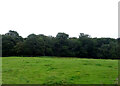
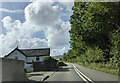
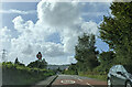
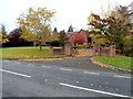
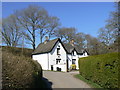
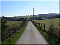
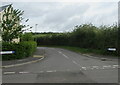
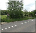
13 photos from this area
Area Information
Key information about the NP4 0AL including its size, population, and administrative classification.
- Area Type
- Postcode
- Area Size
- 84.7 hectares
- Population
- 1368
- Population Density
- 464 people/km²
House Prices in NP4 0AL
43
Properties
£236,462
Average Sold Price
£64,000
Lowest Price
£495,000
Highest Price
Showing 43 properties
| Address | Type | Beds | Baths | Last Sale Price | Last Sale Date | |
|---|---|---|---|---|---|---|
| Berry Hill, Plough Road, Penperlleni, Goytre, NP4 0AL | Bungalow | - | - | £315,000 | Sep 2018 | |
| Springfield, Plough Road, Penperlleni, Goytre, NP4 0AL | Bungalow | - | - | £475,000 | Jul 2018 | |
| Hill View, Plough Road, Penperlleni, Goytre, NP4 0AL | Cottage | 4 | - | £370,000 | Jul 2017 | |
| Plough House, Plough Road, Penperlleni, Goytre, NP4 0AL | house | - | - | £230,000 | Nov 2016 | |
| Lindens, Plough Road, Penperlleni, Goytre, NP4 0AL | house | - | - | £167,500 | Sep 2014 | |
| 16 Plough Road, Penperlleni, Goytre, NP4 0AL | house | - | - | £179,500 | Oct 2011 | |
| Woodlands, Plough Road, Penperlleni, Goytre, NP4 0AL | house | - | - | £140,000 | Aug 2011 | |
| 11 Plough Road, Penperlleni, Goytre, NP4 0AL | house | - | - | £172,000 | Jul 2011 | |
| Oaklee, Plough Road, Penperlleni, Goytre, NP4 0AL | Bungalow | - | - | £235,000 | Dec 2009 | |
| Thornberry, Plough Road, Penperlleni, Goytre, NP4 0AL | Detached | - | - | £495,000 | Jul 2007 |
Page 1 of 5
Energy Efficiency in NP4 0AL
Amenities
Schools
| Rank | School | Type | Entry gender | Ages |
|---|
Explore more schools in this area
Go to Schools tabDemographics
Household Size
Two person
most common
Accommodation Type
Houses
most common
Tenure
75
majority
Ethnic Group
White
most common
Religion
N/A
most common
Household Composition
N/A
most common
Age
47
median
Adults (30-64 years)
most common
Household Deprivation
N/A
with no deprivation
NS-SEC
37
in Lower managerial occupations
Explore more demographic insights in this area
Go to Demographics tabPlanning
Planning Constraints
- Flood RiskPremium
- Ramsar Wetland SitesPremium
- Area of Outstanding Natural BeautyPremium
- Protected Nature ReservePremium
- Protected WoodlandPremium
- Crime RiskPremium