Area Overview for NP26 5SL
Photos of NP26 5SL
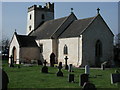
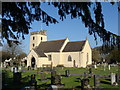
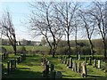

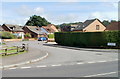
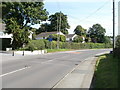
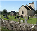

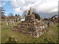
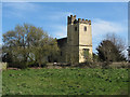
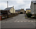
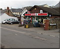
100 photos from this area
Area Information
Key information about the NP26 5SL including its size, population, and administrative classification.
- Area Type
- Postcode
- Area Size
- 1.2 hectares
- Population
- 2485
- Population Density
- 334 people/km²
House Prices in NP26 5SL
16
Properties
£266,688
Average Sold Price
£100,000
Lowest Price
£645,000
Highest Price
Showing 16 properties
| Address | Type | Beds | Baths | Last Sale Price | Last Sale Date | |
|---|---|---|---|---|---|---|
| Halcyon House, Caldicot Road, Portskewett, NP26 5SL | house | - | - | £645,000 | Dec 2021 | |
| 19 Caldicot Road, Portskewett, NP26 5SL | house | - | - | £422,500 | Nov 2021 | |
| 12 Caldicot Road, Portskewett, NP26 5SL | house | - | - | £182,000 | Apr 2019 | |
| 4 Caldicot Road, Portskewett, NP26 5SL | Semi-detached | 2 | 2 | £150,000 | Jan 2018 | |
| Mimosa, 6 Caldicot Road, Portskewett, NP26 5SL | Semi-detached | 3 | 2 | £167,000 | Dec 2017 | |
| 15A Caldicot Road, Portskewett, NP26 5SL | house | - | - | £280,000 | Oct 2012 | |
| Cyndor, 8 Caldicot Road, Portskewett, NP26 5SL | house | - | - | £187,000 | Mar 2011 | |
| Rectory Nurseries, 21 Caldicot Road, Portskewett, NP26 5SL | Detached | - | - | £100,000 | Oct 2002 | |
| 16 Caldicot Road, Portskewett, Caldicot, NP26 5SL | Bungalow | 4 | 1 | - | - | |
| West Vaga, 17 Caldicot Road, Portskewett, NP26 5SL | Detached | 4 | 2 | - | - |
Page 1 of 2
Energy Efficiency in NP26 5SL
Amenities
Schools
| Rank | School | Type | Entry gender | Ages |
|---|
Explore more schools in this area
Go to Schools tabDemographics
Household Size
Two person
most common
Accommodation Type
Houses
most common
Tenure
82
majority
Ethnic Group
White
most common
Religion
N/A
most common
Household Composition
N/A
most common
Age
47
median
Adults (30-64 years)
most common
Household Deprivation
N/A
with no deprivation
NS-SEC
39
in Lower managerial occupations
Explore more demographic insights in this area
Go to Demographics tabPlanning
Planning Constraints
- Flood RiskPremium
- Ramsar Wetland SitesPremium
- Area of Outstanding Natural BeautyPremium
- Protected Nature ReservePremium
- Protected WoodlandPremium
- Crime RiskPremium