Area Overview for NP26 5AT
Photos of NP26 5AT
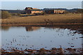
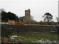
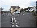
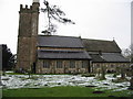
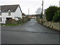
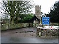
113 photos from this area
Area Information
Key information about the NP26 5AT including its size, population, and administrative classification.
- Area Type
- Postcode
- Area Size
- 4.1 hectares
- Population
- 2124
- Population Density
- 91 people/km²
House Prices in NP26 5AT
43
Properties
£362,019
Average Sold Price
£215,495
Lowest Price
£499,950
Highest Price
Showing 43 properties
| Address | Type | Beds | Baths | Last Sale Price | Last Sale Date | |
|---|---|---|---|---|---|---|
| 31 Merton Green, Caerwent, NP26 5AT | Detached | 5 | 2 | £450,000 | Dec 2023 | |
| 52 Merton Green, Caerwent, NP26 5AT | house | - | - | £336,000 | Nov 2021 | |
| 8 Merton Green, Caerwent, NP26 5AT | house | - | - | £430,000 | Jun 2021 | |
| 16 Merton Green, Caerwent, NP26 5AT | Detached | 4 | 1 | £420,000 | May 2021 | |
| 20 Merton Green, Caerwent, NP26 5AT | Detached | 5 | - | £499,950 | Sep 2019 | |
| 7 Merton Green, Caerwent, NP26 5AT | Detached | 3 | - | £250,000 | Apr 2018 | |
| 14 Merton Green, Caerwent, NP26 5AT | Detached | 6 | 3 | £460,000 | Apr 2018 | |
| 36 Merton Green, Caerwent, NP26 5AT | house | - | - | £350,000 | Nov 2016 | |
| 4 Merton Green, Caerwent, NP26 5AT | house | - | - | £340,000 | Sep 2016 | |
| 44 Merton Green, Caerwent, NP26 5AT | Detached | 4 | 2 | £354,050 | Dec 2014 |
Page 1 of 5
Energy Efficiency in NP26 5AT
Amenities
Schools
| Rank | School | Type | Entry gender | Ages |
|---|
Explore more schools in this area
Go to Schools tabDemographics
Household Size
Two person
most common
Accommodation Type
Houses
most common
Tenure
77
majority
Ethnic Group
White
most common
Religion
N/A
most common
Household Composition
N/A
most common
Age
47
median
Adults (30-64 years)
most common
Household Deprivation
N/A
with no deprivation
NS-SEC
44
in Lower managerial occupations
Explore more demographic insights in this area
Go to Demographics tabPlanning
Planning Constraints
- Flood RiskPremium
- Ramsar Wetland SitesPremium
- Area of Outstanding Natural BeautyPremium
- Protected Nature ReservePremium
- Protected WoodlandPremium
- Crime RiskPremium