Area Overview for NP26 3AX
Photos of NP26 3AX
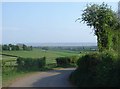
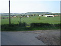
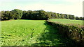
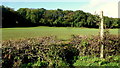
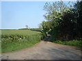

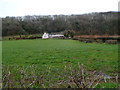
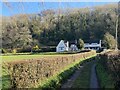
8 photos from this area
Area Information
Key information about the NP26 3AX including its size, population, and administrative classification.
- Area Type
- Postcode
- Area Size
- 1.0 km²
- Population
- 1597
- Population Density
- 587 people/km²
House Prices in NP26 3AX
11
Properties
£703,667
Average Sold Price
£366,000
Lowest Price
£1,250,000
Highest Price
Showing 11 properties
| Address | Type | Beds | Baths | Last Sale Price | Last Sale Date | |
|---|---|---|---|---|---|---|
| Channel View, Bencroft Lane, Common Y Coed, Magor, NP26 3AX | house | - | - | £1,250,000 | Sep 2021 | |
| Holly Cottage, Bencroft Lane, Common Y Coed, Magor, NP26 3AX | house | - | - | £366,000 | Aug 2019 | |
| Nanny Goat Cottage, Bencroft Lane, Common Y Coed, Magor, NP26 3AX | house | - | - | £495,000 | Mar 2005 | |
| Aberthin, Bencroft Lane, Common Y Coed, Magor, NP26 3AX | Detached | - | - | - | - | |
| Caravan, Whitehall Farm, Bencroft Lane, Common Y Coed, Magor, NP26 3AX | Mobile Home | - | - | - | - | |
| Elder Cottage, Bencroft Lane, Common Y Coed, Magor, NP26 3AX | Detached | - | - | - | - | |
| Nook Cottage, Bencroft Lane, Common Y Coed, Magor, NP26 3AX | Detached | - | - | - | - | |
| Mount Pleasant House, Bencroft Lane, Common Y Coed, Magor, NP26 3AX | house | - | - | - | - | |
| Whitehall Farm, Bencroft Lane, Common Y Coed, Magor, NP26 3AX | house | - | - | - | - | |
| Yr Hen Berllan, Bencroft Lane, Common Y Coed, Magor, NP26 3AX | Detached | - | - | - | - |
Page 1 of 2
Energy Efficiency in NP26 3AX
Amenities
Schools
| Rank | School | Type | Entry gender | Ages |
|---|
Explore more schools in this area
Go to Schools tabDemographics
Household Size
Family (3-5 people)
most common
Accommodation Type
Houses
most common
Tenure
85
majority
Ethnic Group
White
most common
Religion
N/A
most common
Household Composition
N/A
most common
Age
47
median
Adults (30-64 years)
most common
Household Deprivation
N/A
with no deprivation
NS-SEC
48
in Lower managerial occupations
Explore more demographic insights in this area
Go to Demographics tabPlanning
Planning Constraints
- Flood RiskPremium
- Ramsar Wetland SitesPremium
- Area of Outstanding Natural BeautyPremium
- Protected Nature ReservePremium
- Protected WoodlandPremium
- Crime RiskPremium