Area Overview for NP25 5UW
Photos of NP25 5UW
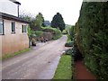

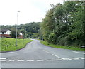

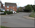
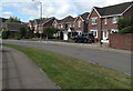
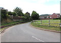
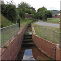
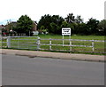
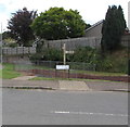
45 photos from this area
Area Information
Key information about the NP25 5UW including its size, population, and administrative classification.
- Area Type
- Postcode
- Area Size
- 3.0 hectares
- Population
- 1291
- Population Density
- 561 people/km²
House Prices in NP25 5UW
42
Properties
£309,239
Average Sold Price
£98,000
Lowest Price
£435,000
Highest Price
Showing 42 properties
| Address | Type | Beds | Baths | Last Sale Price | Last Sale Date | |
|---|---|---|---|---|---|---|
| 30 Opulus Way, Monmouth, NP25 5UW | Detached | 4 | 2 | £353,000 | Nov 2024 | |
| 7 Opulus Way, Monmouth, NP25 5UW | house | - | - | £269,000 | Nov 2022 | |
| 40 Opulus Way, Monmouth, NP25 5UW | house | - | - | £385,500 | Apr 2021 | |
| 29 Opulus Way, Monmouth, NP25 5UW | house | - | - | £225,000 | Feb 2021 | |
| 39 Opulus Way, Monmouth, NP25 5UW | Detached | 4 | 3 | £300,000 | Jan 2021 | |
| 10 Opulus Way, Monmouth, NP25 5UW | Detached | 4 | 2 | £333,300 | Jul 2019 | |
| 27 Opulus Way, Monmouth, NP25 5UW | house | - | - | £114,600 | May 2018 | |
| 32 Opulus Way, Monmouth, NP25 5UW | house | - | - | £332,000 | Apr 2018 | |
| 37 Opulus Way, Monmouth, NP25 5UW | house | - | - | £319,000 | Mar 2018 | |
| 43 Opulus Way, Monmouth, NP25 5UW | house | - | - | £338,000 | Mar 2018 |
Page 1 of 5
Energy Efficiency in NP25 5UW
Amenities
Schools
| Rank | School | Type | Entry gender | Ages |
|---|
Explore more schools in this area
Go to Schools tabDemographics
Household Size
One person
most common
Accommodation Type
Houses
most common
Tenure
42
majority
Ethnic Group
White
most common
Religion
N/A
most common
Household Composition
N/A
most common
Age
47
median
Adults (30-64 years)
most common
Household Deprivation
N/A
with no deprivation
NS-SEC
21
in Lower managerial occupations
Explore more demographic insights in this area
Go to Demographics tabPlanning
Planning Constraints
- Flood RiskPremium
- Ramsar Wetland SitesPremium
- Area of Outstanding Natural BeautyPremium
- Protected Nature ReservePremium
- Protected WoodlandPremium
- Crime RiskPremium