Area Overview for NP25 4DY
Photos of NP25 4DY
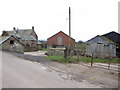
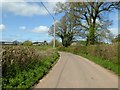
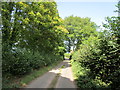
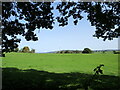
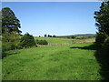
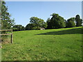
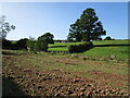
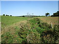
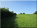
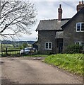
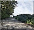
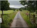
22 photos from this area
Area Information
Key information about the NP25 4DY including its size, population, and administrative classification.
- Area Type
- Postcode
- Area Size
- 2.8 km²
- Population
- 1237
- Population Density
- 28 people/km²
House Prices in NP25 4DY
31
Properties
£441,000
Average Sold Price
£300,000
Lowest Price
£740,000
Highest Price
Showing 31 properties
| Address | Type | Beds | Baths | Last Sale Price | Last Sale Date | |
|---|---|---|---|---|---|---|
| Ty Brith Barn, Bryngwyn Road, Dingestow, NP25 4DY | Bungalow | - | - | £490,000 | Oct 2024 | |
| Meadow Barn, Waste Road, Dingestow, NP25 4DY | house | 5 | - | £740,000 | Sep 2016 | |
| Salters Cottage, 0 , Dingestow, Monmouth, NP25 4DY | Detached | 3 | 1 | £300,000 | Jul 2016 | |
| Oaktrees, Church View, Dingestow, NP25 4DY | Bungalow | - | - | £315,000 | Aug 2013 | |
| Menytrees, Church View, Dingestow, NP25 4DY | Bungalow | - | - | £360,000 | Oct 2009 | |
| Heartsease, Bryngwyn Road, Dingestow, NP25 4DY | house | 2 | 1 | - | - | |
| Farmhouse, Mill Farm, Bryngwyn Road, Dingestow, NP25 4DY | Detached | 4 | - | - | - | |
| Dingestow Court, Bryngwyn Road, Dingestow, NP25 4DY | house | 5 | - | - | - | |
| Barn Conversion Adjacent To The Mill Farm, Bryngwyn Road, Dingestow, NP25 4DY | Detached | - | - | - | - | |
| Brick Barn, Dingestow Court, Bryngwyn Road, Dingestow, NP25 4DY | house | - | - | - | - |
Page 1 of 4
Energy Efficiency in NP25 4DY
Amenities
Schools
| Rank | School | Type | Entry gender | Ages |
|---|
Explore more schools in this area
Go to Schools tabDemographics
Household Size
Two person
most common
Accommodation Type
Houses
most common
Tenure
78
majority
Ethnic Group
White
most common
Religion
N/A
most common
Household Composition
N/A
most common
Age
47
median
Adults (30-64 years)
most common
Household Deprivation
N/A
with no deprivation
NS-SEC
40
in Lower managerial occupations
Explore more demographic insights in this area
Go to Demographics tabPlanning
Planning Constraints
- Flood RiskPremium
- Ramsar Wetland SitesPremium
- Area of Outstanding Natural BeautyPremium
- Protected Nature ReservePremium
- Protected WoodlandPremium
- Crime RiskPremium