Area Overview for NP16 6DD
Photos of NP16 6DD
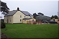
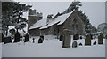
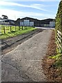
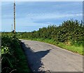
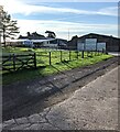
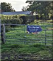
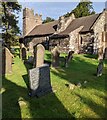

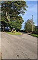
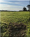

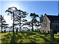
26 photos from this area
Area Information
Key information about the NP16 6DD including its size, population, and administrative classification.
- Area Type
- Postcode
- Area Size
- 1.6 km²
- Population
- 1388
- Population Density
- 25 people/km²
House Prices in NP16 6DD
13
Properties
£269,200
Average Sold Price
£45,000
Lowest Price
£427,500
Highest Price
Showing 13 properties
| Address | Type | Beds | Baths | Last Sale Price | Last Sale Date | |
|---|---|---|---|---|---|---|
| Glenmore, Gaerllwyd Farm To Gethley Road, Newchurch, Devauden, NP16 6DD | Detached | 3 | 2 | £325,000 | Mar 2021 | |
| Cow Shed, Gaerllwyd Farm To Gethley Road, Newchurch, Devauden, NP16 6DD | Semi-detached | 2 | 2 | £250,000 | Aug 2016 | |
| Gaerllwyd Farm, Gaerllwyd Farm To Gethley Road, Newchurch, Devauden, NP16 6DD | Detached | 4 | 2 | £427,500 | Feb 2016 | |
| Pentwyn Bach, Mynydd Bach Road, Newchurch, Devauden, NP16 6DD | Detached | - | - | £298,500 | Apr 2005 | |
| Laurel Cottage, Gaerllwyd Farm To Gethley Road, Newchurch, Devauden, NP16 6DD | house | - | - | £45,000 | Jun 1998 | |
| Pentwyn Barn, Pentwyn Farm, Gaerllwyd Farm To Gethley Road, Newchurch, Devauden, NP16 6DD | Land | - | - | - | - | |
| Mynyddbach Farm, Mynydd Bach Road, Newchurch, Devauden, NP16 6DD | house | - | - | - | - | |
| Prospect House, Gaerllwyd Farm To Gethley Road, Newchurch, Devauden, NP16 6DD | house | - | - | - | - | |
| Bedlington Barn, Gaerllwyd Farm To Gethley Road, Newchurch, Devauden, NP16 6DD | house | - | - | - | - | |
| Pentwyn Farm, Gaerllwyd Farm To Gethley Road, Newchurch, Devauden, NP16 6DD | house | - | - | - | - |
Page 1 of 2
Energy Efficiency in NP16 6DD
Amenities
Schools
| Rank | School | Type | Entry gender | Ages |
|---|
Explore more schools in this area
Go to Schools tabDemographics
Household Size
Two person
most common
Accommodation Type
Houses
most common
Tenure
85
majority
Ethnic Group
White
most common
Religion
N/A
most common
Household Composition
N/A
most common
Age
47
median
Adults (30-64 years)
most common
Household Deprivation
N/A
with no deprivation
NS-SEC
49
in Lower managerial occupations
Explore more demographic insights in this area
Go to Demographics tabPlanning
Planning Constraints
- Flood RiskPremium
- Ramsar Wetland SitesPremium
- Area of Outstanding Natural BeautyPremium
- Protected Nature ReservePremium
- Protected WoodlandPremium
- Crime RiskPremium