Area Overview for NP15 2DU
Photos of NP15 2DU
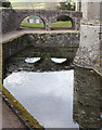
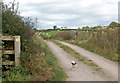
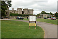
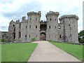
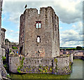
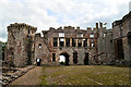
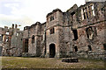
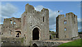
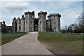
100 photos from this area
Area Information
Key information about the NP15 2DU including its size, population, and administrative classification.
- Area Type
- Postcode
- Area Size
- 12.6 hectares
- Population
- 1930
- Population Density
- 52 people/km²
House Prices in NP15 2DU
14
Properties
£252,286
Average Sold Price
£54,000
Lowest Price
£445,000
Highest Price
Showing 14 properties
| Address | Type | Beds | Baths | Last Sale Price | Last Sale Date | |
|---|---|---|---|---|---|---|
| Rose Cottage, Primrose Green, Raglan, NP15 2DU | Detached | 2 | 1 | £280,000 | Jul 2025 | |
| Ambleside, Primrose Green, Raglan, NP15 2DU | Detached | 4 | 2 | £445,000 | May 2019 | |
| Canbourne, Primrose Green, Raglan, NP15 2DU | house | - | - | £289,000 | Nov 2015 | |
| Blue Door, Primrose Green, Raglan, NP15 2DU | house | 5 | 4 | £275,000 | Nov 2015 | |
| 7 Primrose Green, Raglan, NP15 2DU | house | - | - | £168,000 | Dec 2013 | |
| Ty Coch, Primrose Green, Raglan, NP15 2DU | Detached | - | - | £255,000 | Feb 2006 | |
| Cherry Tree Cottage, Primrose Green, Raglan, NP15 2DU | Bungalow | - | - | £54,000 | Feb 2003 | |
| Ty Berllan, Primrose Green, Raglan, NP15 2DU | Semi-detached | 4 | 2 | - | - | |
| Cherry Garth, Primrose Green, Raglan, NP15 2DU | Semi-detached | 4 | 3 | - | - | |
| Caravan At, 7 Primrose Green, Raglan, NP15 2DU | Mobile Home | - | - | - | - |
Page 1 of 2
Energy Efficiency in NP15 2DU
Amenities
Schools
| Rank | School | Type | Entry gender | Ages |
|---|
Explore more schools in this area
Go to Schools tabDemographics
Household Size
Two person
most common
Accommodation Type
Houses
most common
Tenure
76
majority
Ethnic Group
White
most common
Religion
N/A
most common
Household Composition
N/A
most common
Age
47
median
Adults (30-64 years)
most common
Household Deprivation
N/A
with no deprivation
NS-SEC
42
in Lower managerial occupations
Explore more demographic insights in this area
Go to Demographics tabPlanning
Planning Constraints
- Flood RiskPremium
- Ramsar Wetland SitesPremium
- Area of Outstanding Natural BeautyPremium
- Protected Nature ReservePremium
- Protected WoodlandPremium
- Crime RiskPremium